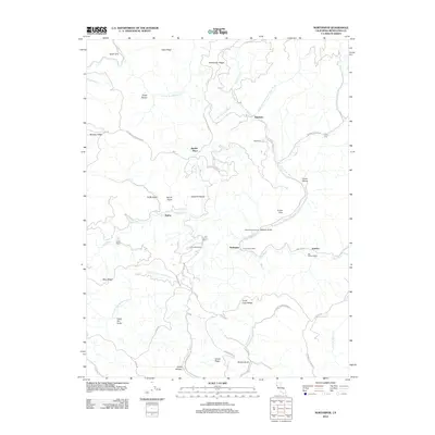
2012 Map of Northspur
USGS Topo · Published 2012About this map
The Noyo River and its numerous forks and gulches define this Mendocino County landscape, where timber and transit legacy meet. The settlement of Northspur serves as a central point along the river, flanked by historically significant sites like Irmulco and Old Camp Seven. The map reveals a dense network of forest camps, including Camp Mendocino, Camp Saint Albert, and Camp Noyo, reflecting the area's long-standing role in resource extraction and outdoor recreation.
Find a feature on this map
52 named features on this map. Tap any name to fly to it.
Don’t see what you’re looking for? This feature index may not catch every label — zoom into the map to look around manually.
Map Details
Editions of this 2012 Northspur Map
This is the sole edition of this map. No revisions or reprints were ever made.
Other maps of this area
1920 · Glenblair
USGS Topo · 1:62,500
1921 · Branscomb
USGS Topo · 1:62,500
1922 · Willits
USGS Topo · 1:62,500
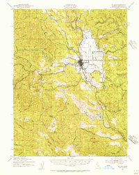
1942 · Willits
USGS Topo · 1:62,500
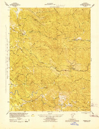
1943 · Glenblair
USGS Topo · 1:62,500
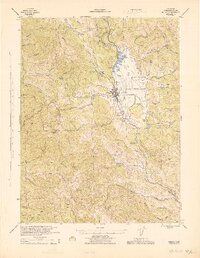
1944 · Willits
USGS Topo · 1:62,500
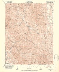
1951 · Branscomb
USGS Topo · 1:62,500
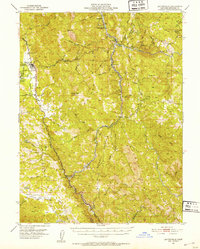
1951 · Laytonville
USGS Topo · 1:62,500
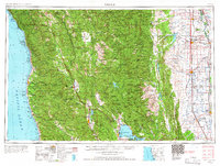
1957 · Ukiah
USGS Topo · 1:250,000
1960 · Ukiah
USGS Topo · 1:250,000