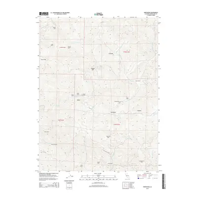
2015 Map of Northspur
USGS Topo · Published 2015About this map
Northspur and the former logging settlements of the Mendocino backwoods are the focal points of this 2015 survey. The landscape is defined by the complex drainage systems of the Noyo River and the S Fork Ten Mile River, where narrow gulches and steep ridges dictate the placement of early habitations. Longstanding names like Irmulco and Alpine reflect the area's history of timber harvesting and remote outpost living. Transportation through this dense terrain is largely confined to ridge-top routes such as Three Chop Ridge or valley-bottom paths like Northspur RD. The map reveals a high concentration of named physical features, from Riley Ridge to the deep Camp Ten Gulch, illustrating the granular geographic knowledge required for navigating and working in these coastal mountains. Settlement sites like Wanhala and Marble Place appear as small clearings within a predominantly vertical wilderness.
Find a feature on this map
42 named features on this map. Tap any name to fly to it.
Don’t see what you’re looking for? This feature index may not catch every label — zoom into the map to look around manually.
Map Details
Editions of this 2015 Northspur Map
This is the sole edition of this map. No revisions or reprints were ever made.
Other maps of this area
1920 · Glenblair
USGS Topo · 1:62,500
1921 · Branscomb
USGS Topo · 1:62,500
1922 · Willits
USGS Topo · 1:62,500
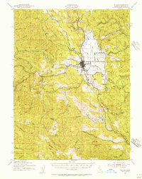
1942 · Willits
USGS Topo · 1:62,500
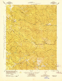
1943 · Glenblair
USGS Topo · 1:62,500
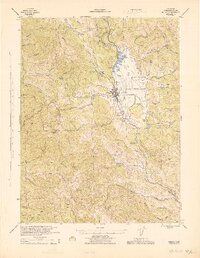
1944 · Willits
USGS Topo · 1:62,500
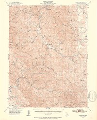
1951 · Branscomb
USGS Topo · 1:62,500
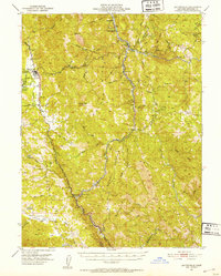
1951 · Laytonville
USGS Topo · 1:62,500
1957 · Ukiah
USGS Topo · 1:250,000
1960 · Ukiah
USGS Topo · 1:250,000