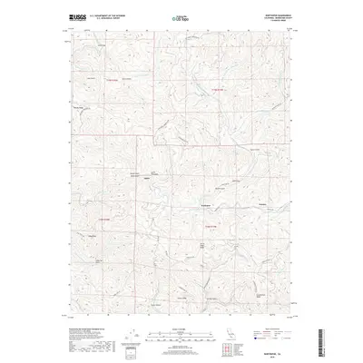
2018 Map of Northspur
USGS Topo · Published 2018About this map
The Noyo River and its labyrinth of tributary gulches define the landscape of Mendocino County as documented in this 2018 survey. Deep within the redwood country, small settlements like Northspur, Irmulco, and Alpine sit along the winding riverbanks, connected by historic paths such as Northspur Rd and Irmulco Rd. The terrain is marked by prominent high ground, including Ramsey Ridge to the northwest and Chamberlain Ridge to the southeast, while Three Chop Ridge follows a central divide. A complex network of logging and access roads, such as Fort Bragg-Sherwood Rd and Three Chop Rd, weaves through the steep drainages of Duffy Gulch and Marble Gulch. The map records a geography shaped by the timber industry and river-driven economy, providing a clear picture of the modern road access and drainage patterns across the Jackson State Forest area.
Find a feature on this map
47 named features on this map. Tap any name to fly to it.
Don’t see what you’re looking for? This feature index may not catch every label — zoom into the map to look around manually.
Map Details
Editions of this 2018 Northspur Map
This is the sole edition of this map. No revisions or reprints were ever made.
Other maps of this area
1920 · Glenblair
USGS Topo · 1:62,500
1921 · Branscomb
USGS Topo · 1:62,500
1922 · Willits
USGS Topo · 1:62,500
1942 · Willits
USGS Topo · 1:62,500
1943 · Glenblair
USGS Topo · 1:62,500
1944 · Willits
USGS Topo · 1:62,500
1951 · Branscomb
USGS Topo · 1:62,500
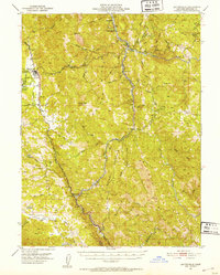
1951 · Laytonville
USGS Topo · 1:62,500
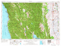
1957 · Ukiah
USGS Topo · 1:250,000
1960 · Ukiah
USGS Topo · 1:250,000