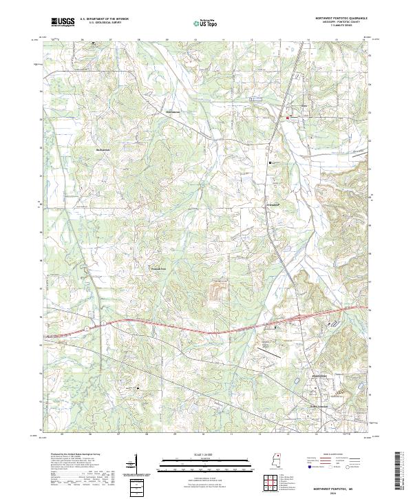
2024 Map of Northwest Pontotoc
USGS Topo · Published 2024About this map
Ecru and the northern reaches of Pontotoc anchor this contemporary survey of the north-central Mississippi landscape. The terrain is defined by a dense network of tributaries including Lappatubby Creek and Byrds Creek, which historically shaped the placement of rural settlements like Hortontown, Buchannan, and the evocatively named Possum Trot. The map captures a mix of traditional agricultural land and modern infrastructure, evidenced by the Pontotoc County Airport and the Pontotoc Co Industrial Pkwy.
Find a feature on this map
47 named features on this map. Tap any name to fly to it.
Don’t see what you’re looking for? This feature index may not catch every label — zoom into the map to look around manually.
Map Details
Editions of this 2024 Northwest Pontotoc Map
This is the sole edition of this map. No revisions or reprints were ever made.
Historical Maps of Friendship Through Time
8 maps found
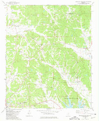
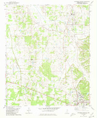
1966 Southeast Pontotoc
Pontotoc County, MS
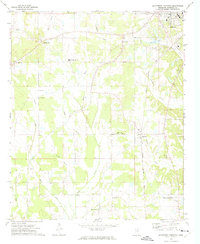
1972 Southwest Pontotoc
Pontotoc County, MS
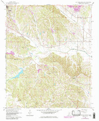
1980 Northeast Pontotoc
Pontotoc County, MS
1980 Northwest Pontotoc
Pontotoc County, MS
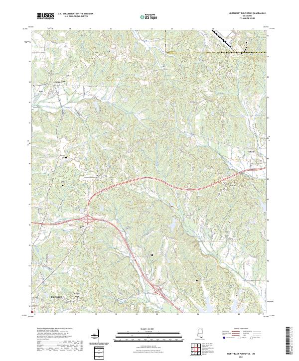
2024 Northeast Pontotoc
Pontotoc County, MS
2024 Northwest Pontotoc
Pontotoc County, MS
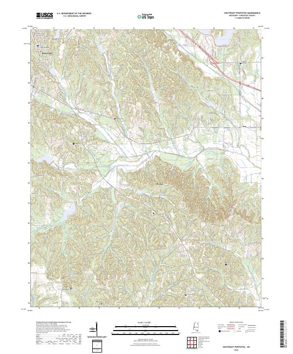
2024 Southeast Pontotoc
Pontotoc County, MS
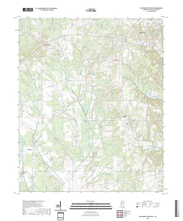
2024 Southwest Pontotoc
Pontotoc County, MS