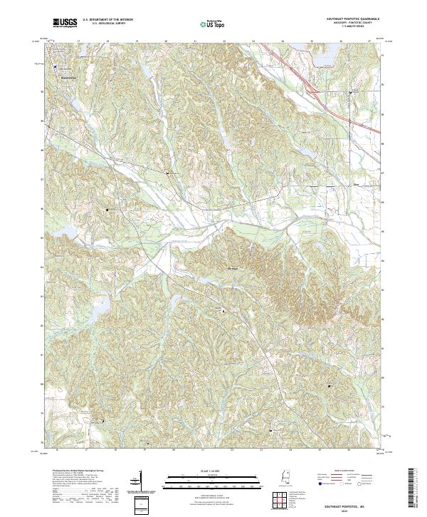
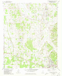
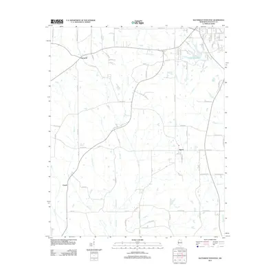
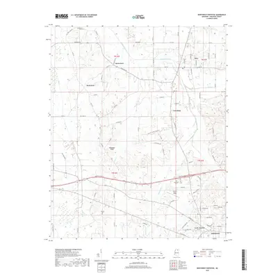
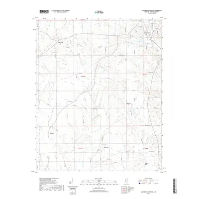
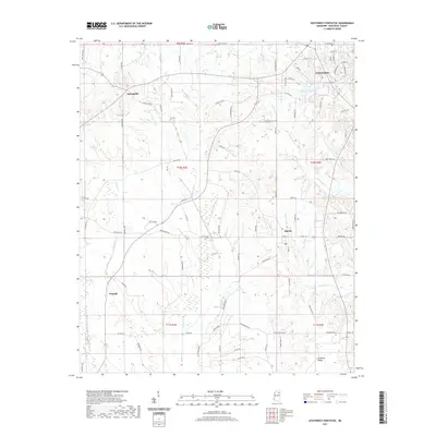
2024 Map of Southeast Pontotoc
USGS Topo · Published 2024About this map
The Pontotoc city limits reach into the northwestern corner of this quadrangle, where the Pontotoc County Chancery Court stands as a central civic landmark. Moving southeast, the landscape transitions into a network of creek drainages and small rural settlements like Chiwapa and Zion. The terrain is defined by a dense system of waterways including Chiwapa Creek, Donaldson Creek, and Tallabinnela Creek, which carve through the region's low ridges and coves such as Cates Cove.
Find a feature on this map
98 named features on this map. Tap any name to fly to it.
Don’t see what you’re looking for? This feature index may not catch every label — zoom into the map to look around manually.
Map Details
Editions of this 2024 Southeast Pontotoc Map
This is the sole edition of this map. No revisions or reprints were ever made.
Historical Maps of Pontotoc Through Time
24 maps found
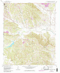
1966 Southeast Pontotoc
Pontotoc County, MS
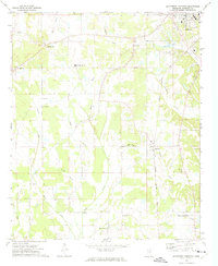
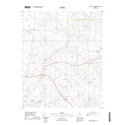
1972 Southwest Pontotoc
Pontotoc County, MS
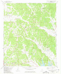
1980 Northeast Pontotoc
Pontotoc County, MS
1980 Northwest Pontotoc
Pontotoc County, MS
2012 Northeast Pontotoc
Pontotoc County, MS
2012 Northwest Pontotoc
Pontotoc County, MS
2012 Southeast Pontotoc
Pontotoc County, MS
2012 Southwest Pontotoc
Pontotoc County, MS
2015 Northeast Pontotoc
Pontotoc County, MS
2015 Northwest Pontotoc
Pontotoc County, MS
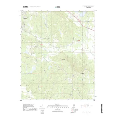
2015 Southeast Pontotoc
Pontotoc County, MS
2015 Southwest Pontotoc
Pontotoc County, MS
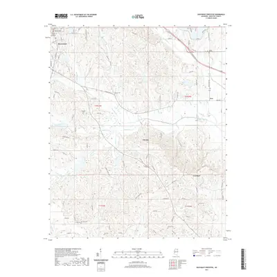
2018 Northeast Pontotoc
Pontotoc County, MS
2018 Northwest Pontotoc
Pontotoc County, MS
2018 Southeast Pontotoc
Pontotoc County, MS
2018 Southwest Pontotoc
Pontotoc County, MS
2020 Northeast Pontotoc
Pontotoc County, MS
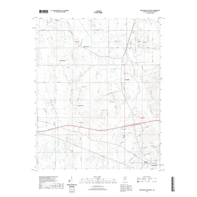
2021 Northwest Pontotoc
Pontotoc County, MS
2021 Southeast Pontotoc
Pontotoc County, MS
2021 Southwest Pontotoc
Pontotoc County, MS
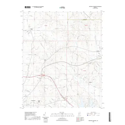
2024 Northeast Pontotoc
Pontotoc County, MS
2024 Northwest Pontotoc
Pontotoc County, MS
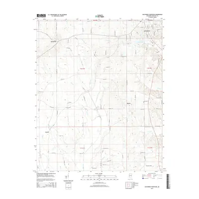
2024 Southeast Pontotoc
Pontotoc County, MS
2024 Southwest Pontotoc
Pontotoc County, MS