
1966 Map of Troy
USGS Topo · Published 1967About this map
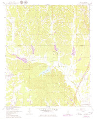
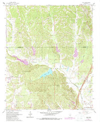
Tombigbee National Forest dominates the southern landscape of this 1960s survey, where the recreational waters of Davis Lake and the nearby Camp Bellewood sit nestled within the timbered hills. The topography is defined by the winding paths of Chuquatonchee Creek and its many tributaries, such as Redland Creek and Goodfood Creek, which carve through the terrain between the settlements of Troy and Old Houlka. This era shows a community rooted in its rural spiritual and ancestral sites, evidenced by numerous landmarks like Shiloh Ch, Pilgrim Ch, and Rose Hill Cem.
Find a feature on this map
35 named features on this map. Tap any name to fly to it.
Don’t see what you’re looking for? This feature index may not catch every label — zoom into the map to look around manually.
Map Details
Editions of this 1966 Troy Map
3 editions found
Other maps of this area

1953 · West Point
USGS Topo · 1:250,000

1956 · Tupelo
USGS Topo · 1:250,000

1958 · Tupelo
USGS Topo · 1:250,000

1958 · West Point
USGS Topo · 1:250,000

1959 · Van Vleet
USGS Topo · 1:62,500

1963 · West Point
USGS Topo · 1:250,000

1966 · Troy NW
USGS Topo · 1:24,000

1966 · Troy SE
USGS Topo · 1:24,000

1966 · Bissell
USGS Topo · 1:24,000

1972 · Houlka
USGS Topo · 1:24,000