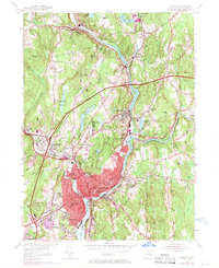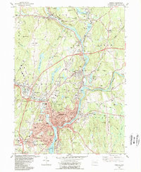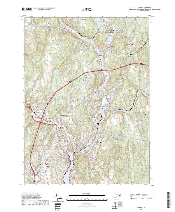
2024 Map of Norwich
USGS Topo · Published 2024About this map
The confluence of the Yantic River and Shetucket River defines the industrial and historical heart of Norwich, Connecticut. This survey illustrates a landscape deeply shaped by water power and colonial heritage, featuring distinct mill settlements such as Taftville, Occum, and Baltic along the riverbanks. Local history is exceptionally well-preserved through numerous burial sites, including the Royal Mohegan Burial Ground and the Old Uptown Burial Ground in Norwichtown. The map reveals the intricate transport network of the New England Central RR and major thoroughfares like the Shetucket Tpke, which connect the urban center to outlying areas like Backus Corner and Newent. From the heights of Mt Pleasant to the lowlands of Kinney Flat, the terrain shows a mix of dense residential development, institutional landmarks like Three Rivers Community College, and storied religious sites such as the Long Society Congregational Church.
Find a feature on this map
191 named features on this map. Tap any name to fly to it.
Don’t see what you’re looking for? This feature index may not catch every label — zoom into the map to look around manually.
Map Details
Editions of this 2024 Norwich Map
This is the sole edition of this map. No revisions or reprints were ever made.
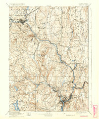
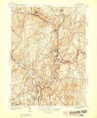
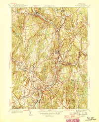
Historical Maps of Yantic Through Time
6 maps found