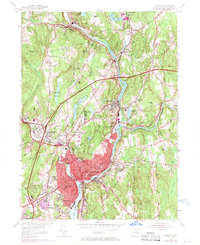
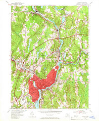
1954 Map of Norwich
USGS Topo · Published 1971About this map
The Shetucket River and Quinebaug River converge north of Norwich, forming the Thames River and anchoring a landscape defined by New England's industrial and institutional history. In this mid-century period, the area's transition into a modern transport hub is evident with the presence of the Connecticut Turnpike and the Norwichtown Bypass cutting through traditional neighborhoods. These newer corridors contrast with the older rail infrastructure of the Central Vermont and Penn Central railroads that once served the textile mills in Taftville, Baltic, and Versailles. Cultural and civic landmarks are densely clustered in the city center, including the Free Academy, the local Jail, and Backus Hospital. To the south, the State Sanatorium and Thamesville border the tidal waters of Trading Cove, while outlying settlements like Newent and Long Society maintain a more rural character.
Find a feature on this map
93 named features on this map. Tap any name to fly to it.
Don’t see what you’re looking for? This feature index may not catch every label — zoom into the map to look around manually.
Map Details
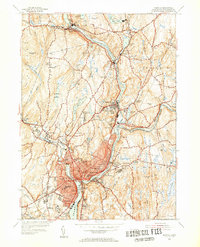
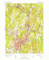
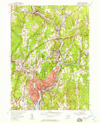
Editions of this 1954 Norwich Map
5 editions found
Other maps of this area

1889 · Stonington
USGS Topo · 1:62,500

1889 · Moosup
USGS Topo · 1:62,500

1892 · New London
USGS Topo · 1:62,500

1892 · Norwich
USGS Topo · 1:62,500

1893 · Moosup
USGS Topo · 1:62,500

1893 · Stonington
USGS Topo · 1:62,500

1893 · New London
USGS Topo · 1:62,500

1920 · Moosup
USGS Topo · 1:62,500

1921 · New London
USGS Topo · 1:62,500

1921 · Stonington
USGS Topo · 1:62,500