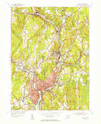
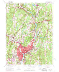
1954 Map of Norwich
USGS Topo · Published 1955About this map
Norwich and its surrounding mill towns are defined by the convergence of the Shetucket River, Quinebaug River, and Yantic River to form the Thames River headwaters. This 1950s survey documents a dense industrial and residential corridor stretching from Baltic and Taftville down to the urban core. The map highlights the city's established social infrastructure, featuring numerous neighborhood schools such as Pearl St Sch and Bishop Sch, alongside the prominent Free Academy and Backus Hospital.
Find a feature on this map
78 named features on this map. Tap any name to fly to it.
Don’t see what you’re looking for? This feature index may not catch every label — zoom into the map to look around manually.
Map Details
Editions of this 1954 Norwich Map
5 editions found
Other maps of this area

1889 · Stonington
USGS Topo · 1:62,500

1889 · Moosup
USGS Topo · 1:62,500

1892 · New London
USGS Topo · 1:62,500

1892 · Norwich
USGS Topo · 1:62,500

1893 · Moosup
USGS Topo · 1:62,500

1893 · Stonington
USGS Topo · 1:62,500

1893 · New London
USGS Topo · 1:62,500

1920 · Moosup
USGS Topo · 1:62,500

1921 · New London
USGS Topo · 1:62,500

1921 · Stonington
USGS Topo · 1:62,500