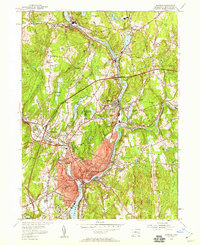
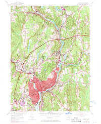
1954 Map of Norwich
USGS Topo · Published 1959About this map
Industrial and institutional development along the Shetucket River and Yantic River defines this mid-century survey of Norwich. The city’s core is densely mapped with essential civic landmarks, including the Free Academy, Backus Hospital, and the county Jail. Educational sites such as the Broadway Sch and Elizabeth St Sch are noted alongside local burial grounds like Yantic Cem. The landscape outside the urban center shows a network of textile-era mill villages and rail infrastructure, including Versailles Sta and Taft Station on the New York New Haven and Hartford line.
Find a feature on this map
75 named features on this map. Tap any name to fly to it.
Don’t see what you’re looking for? This feature index may not catch every label — zoom into the map to look around manually.
Map Details
Editions of this 1954 Norwich Map
5 editions found
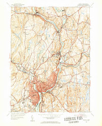
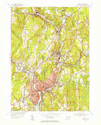
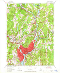
Other maps of this area

1889 · Stonington
USGS Topo · 1:62,500

1889 · Moosup
USGS Topo · 1:62,500

1892 · New London
USGS Topo · 1:62,500

1892 · Norwich
USGS Topo · 1:62,500

1893 · Moosup
USGS Topo · 1:62,500

1893 · Stonington
USGS Topo · 1:62,500

1893 · New London
USGS Topo · 1:62,500

1920 · Moosup
USGS Topo · 1:62,500

1921 · New London
USGS Topo · 1:62,500

1921 · Stonington
USGS Topo · 1:62,500