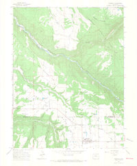
1964 Map of Norwood
USGS Topo · Published 1968About this map
Wrights Mesa serves as the agricultural heart of this region in the mid-1960s, defined by a complex network of irrigation systems including Smugglers Ditch, Gurley Ditch, and Truax Ditch. These man-made waterways redirect flow across the high plateau to support ranching and farming near the primary settlement of Norwood. The town center reveals a classic mid-century rural landscape, featuring a Rodeo Ground, Drive-in Theater, and the Norwood Airport. To the north, the terrain drops dramatically into the Canyon of the San Miguel River, which snakes through the Uncompahgre National Forest below Patterson Mountain. Smaller settlements like Coventry and Naturita are visible along the main roads, while family-named landmarks such as the Williams Landing Strip and Williams Reservoir point to the local importance of private aviation and water rights during this era.
Find a feature on this map
41 named features on this map. Tap any name to fly to it.
Don’t see what you’re looking for? This feature index may not catch every label — zoom into the map to look around manually.
Map Details
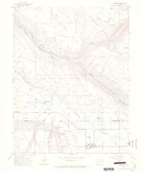
Editions of this 1964 Norwood Map
4 editions found

Other maps of this area

1956 · Moab
USGS Topo · 1:250,000

1959 · Moab
USGS Topo · 1:250,000

1960 · Moab
USGS Topo · 1:250,000

1962 · Moab
USGS Topo · 1:250,000

1964 · Moab
USGS Topo · 1:250,000
1964 · Redvale
USGS Topo · 1:24,000
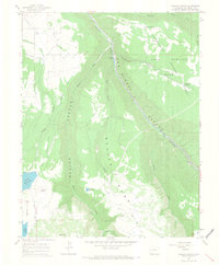
1964 · Gurley Canyon
USGS Topo · 1:24,000
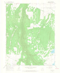
1964 · Oak Hill
USGS Topo · 1:24,000
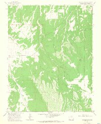
1964 · Barkelew Draw
USGS Topo · 1:24,000

1965 · Moab
USGS Topo · 1:250,000