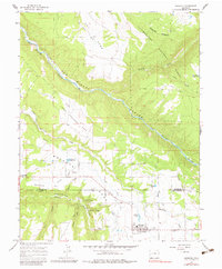
1964 Map of Norwood
USGS Topo · Published 1983About this map
Wrights Mesa serves as the central agricultural and settlement hub in this mid-1960s survey, where the town of Norwood is established with its Rodeo Ground, Drive-In Theater, and Norwood Cem. The landscape is defined by the deep incision of the San Miguel Canyon, which separates the high plateaus from the Uncompahgre National Forest to the north. Water management is a critical feature of this high-desert environment, evidenced by an extensive network of irrigation channels including Smugglers Ditch, Gurley Ditch, and Williams Ditch. Smaller settlements like Coventry and Naturita are clustered along these water-dependent routes. The map also captures early aviation infrastructure in the region, noting both the Norwood Airport and the private Williams Landing Strip, alongside several mines and gravel pits that underscore the local extractive economy.
Find a feature on this map
43 named features on this map. Tap any name to fly to it.
Don’t see what you’re looking for? This feature index may not catch every label — zoom into the map to look around manually.
Map Details
Editions of this 1964 Norwood Map
4 editions found

Other maps of this area

1956 · Moab
USGS Topo · 1:250,000

1959 · Moab
USGS Topo · 1:250,000

1960 · Moab
USGS Topo · 1:250,000

1962 · Moab
USGS Topo · 1:250,000

1964 · Moab
USGS Topo · 1:250,000
1964 · Redvale
USGS Topo · 1:24,000
1964 · Norwood
USGS Topo · 1:24,000
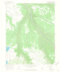
1964 · Gurley Canyon
USGS Topo · 1:24,000
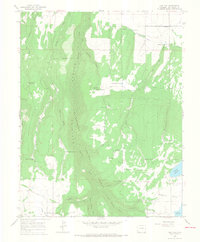
1964 · Oak Hill
USGS Topo · 1:24,000
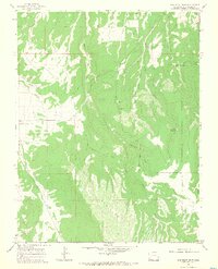
1964 · Barkelew Draw
USGS Topo · 1:24,000