
1964 Map of Norwood
USGS Topo · Published 1983About this map
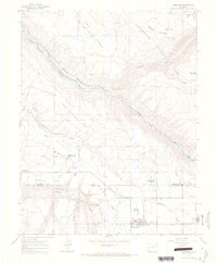
The San Miguel River cuts a deep path through the plateaus of southwestern Colorado in this mid-1960s survey, separating the high grounds of Upper Mailbox Park from the agricultural and residential centers below. The town of Norwood serves as a local hub on Wrights Mesa, characterized by its concentration of community landmarks including the Norwood Cem, the local Norwood Airport, and a Drive-In Theater. This era reveals a landscape transitioning between traditional ranching and modern infrastructure, evidenced by the numerous irrigation features like the Issac Grey Ditch and private water sources such as Williams Reservoir.
Find a feature on this map
34 named features on this map. Tap any name to fly to it.
Don’t see what you’re looking for? This feature index may not catch every label — zoom into the map to look around manually.
Map Details
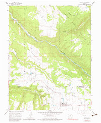
Editions of this 1964 Norwood Map
4 editions found
Other maps of this area

1956 · Moab
USGS Topo · 1:250,000

1959 · Moab
USGS Topo · 1:250,000

1960 · Moab
USGS Topo · 1:250,000

1962 · Moab
USGS Topo · 1:250,000

1964 · Moab
USGS Topo · 1:250,000
1964 · Redvale
USGS Topo · 1:24,000
1964 · Norwood
USGS Topo · 1:24,000
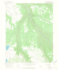
1964 · Gurley Canyon
USGS Topo · 1:24,000
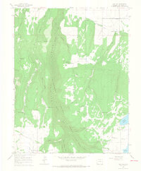
1964 · Oak Hill
USGS Topo · 1:24,000
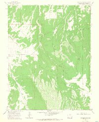
1964 · Barkelew Draw
USGS Topo · 1:24,000