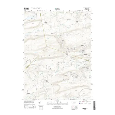
2016 Map of Nuremberg
USGS Topo · Published 2016About this map
Nuremberg sits at the junction of three counties—Columbia, Luzerne, and Schuylkill—occupying a valley floor between the ridgelines of Buck Mtn and Green Mtn. This 2016 survey shows the concentrated residential patterns of anthracite coal country, with settlements like Weston, Fern Glen, and Derringer established along the northern base of the mountains. The landscape is defined by its drainage basins, with Black Creek and Tomhicken Creek carving through the valleys while the Catawissa Creek winds through the southern portion of the quadrangle near Zion Grove. Small-scale aviation is represented by Mc Donald's Airport in the south, while the Nuremberg Cem provides a focal point for local genealogical interest. The map reveals the intricate network of township roads and mountain trails, such as the Mountain Laurel Trl, that connect these historically linked mining and agricultural communities.
Find a feature on this map
146 named features on this map. Tap any name to fly to it.
Don’t see what you’re looking for? This feature index may not catch every label — zoom into the map to look around manually.
Map Details
Editions of this 2016 Nuremberg Map
This is the sole edition of this map. No revisions or reprints were ever made.
Other maps of this area

1889 · Catawissa
USGS Topo · 1:62,500

1892 · Catawissa
USGS Topo · 1:62,500

1892 · Mahanoy
USGS Topo · 1:62,500

1893 · Mahanoy
USGS Topo · 1:62,500

1894 · Catawissa
USGS Topo · 1:62,500

1894 · Shickshinny
USGS Topo · 1:62,500

1894 · Bloomsburg
USGS Topo · 1:62,500

1946 · Sybertsville
USGS Topo · 1:31,680

1946 · Berwick
USGS Topo · 1:31,680

1947 · Ashland
USGS Topo · 1:24,000
Featured Places
- Monticello, Beaver Township
- Gowen, Black Creek Township
- Gum Run, Black Creek Township
- Sugarloaf Township, PA
- Gowen Breaker Station, Black Creek Township