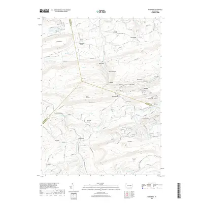
2019 Map of Nuremberg
USGS Topo · Published 2019About this map
Nuremberg and its neighboring villages occupy a complex corridor of ridge and valley where Columbia, Luzerne, and Schuylkill counties meet. This area is characterized by high, wooded elevations such as Buck Mtn and McCauley Mtn which hem in the narrow settlement strips of Weston, Gowen, and Fern Glen. The landscape's industrial and social history is etched in the presence of numerous small cemeteries, including Nuremberg Cem and Sacred Heart Cem, and the specialized transportation of McDonald's Airport near the Catawissa Creek in the south.
Find a feature on this map
135 named features on this map. Tap any name to fly to it.
Don’t see what you’re looking for? This feature index may not catch every label — zoom into the map to look around manually.
Map Details
Editions of this 2019 Nuremberg Map
This is the sole edition of this map. No revisions or reprints were ever made.
Other maps of this area

1889 · Catawissa
USGS Topo · 1:62,500

1892 · Catawissa
USGS Topo · 1:62,500

1892 · Mahanoy
USGS Topo · 1:62,500
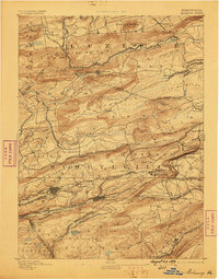
1893 · Mahanoy
USGS Topo · 1:62,500
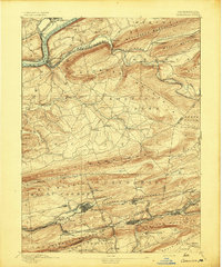
1894 · Catawissa
USGS Topo · 1:62,500
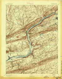
1894 · Shickshinny
USGS Topo · 1:62,500
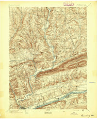
1894 · Bloomsburg
USGS Topo · 1:62,500
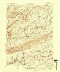
1946 · Sybertsville
USGS Topo · 1:31,680
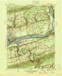
1946 · Berwick
USGS Topo · 1:31,680
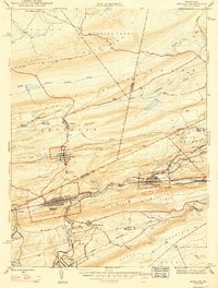
1947 · Ashland
USGS Topo · 1:24,000
Featured Places
- Monticello, Beaver Township
- Gowen, Black Creek Township
- Gum Run, Black Creek Township
- Sugarloaf Township, PA
- Gowen Breaker Station, Black Creek Township