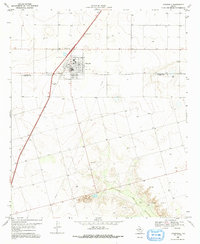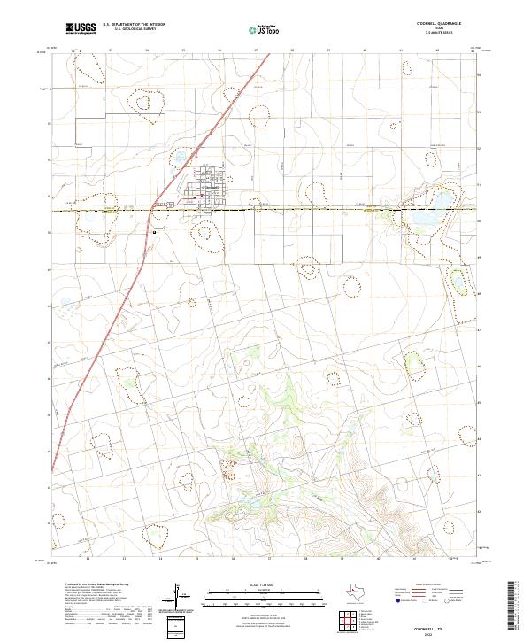
2022 Map of O'Donnell
USGS Topo · Published 2022About this map
O'Donnell sits at the intersection of the High Plains and the rolling breaks of the South Plains, straddling the border of Lynn and Dawson counties. The town site is laid out on a grid including residential and commercial streets such as Standefer St, Baldridge St, and Evans St. This landscape is defined by its agricultural character and drainage patterns, most notably the T J F Draw that winds through the southern portion of the quadrangle. Local landmarks include the ODonnell Cem located just south of the main settlement and the Gravel Pit Lake, which suggests the area's geological utility. The network of county roads like Co Rd 36 and Co Rd 38 connect the isolated farmsteads and ranch lands that dominate the surrounding territory.
Find a feature on this map
39 named features on this map. Tap any name to fly to it.
Don’t see what you’re looking for? This feature index may not catch every label — zoom into the map to look around manually.
Map Details
Editions of this 2022 O'Donnell Map
This is the sole edition of this map. No revisions or reprints were ever made.