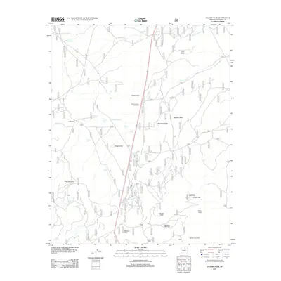
2011 Map of O'Leary Peak
USGS Topo · Published 2011About this map
Sacred Mountain Trading Post stands along a primary north-south corridor through this high-elevation landscape, where the geological history of the San Francisco Volcanic Field is on full display. The area is defined by a series of prominent volcanic features, including the rising summit of O'Leary Peak, the wide Robinson Crater, and the dark expanse of the Bonita Lava Flow. These landmarks, along with the O'Leary Peak Lookout Tower, provided critical vantage points for forestry and surveillance in the Coconino National Forest.
Find a feature on this map
136 named features on this map. Tap any name to fly to it.
Don’t see what you’re looking for? This feature index may not catch every label — zoom into the map to look around manually.
Map Details
Editions of this 2011 O'Leary Peak Map
This is the sole edition of this map. No revisions or reprints were ever made.
Other maps of this area
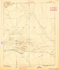
1886 · San Francisco Mtns
USGS Topo · 1:250,000
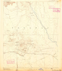
1891 · San Francisco Mtns
USGS Topo · 1:250,000
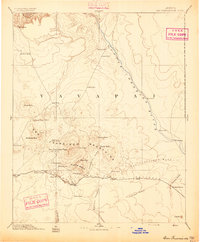
1894 · San Francisco Mtns
USGS Topo · 1:250,000
1899 · San Francisco Mtns
USGS Topo · 1:250,000
1908 · Flagstaff
USGS Topo · 1:125,000
1912 · Flagstaff
USGS Topo · 1:125,000

1947 · Flagstaff
USGS Topo · 1:250,000
1954 · Flagstaff
USGS Topo · 1:250,000
1958 · Flagstaff
USGS Topo · 1:250,000
1960 · Flagstaff
USGS Topo · 1:250,000