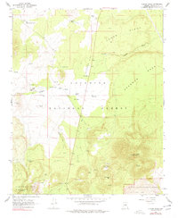
1966 Map of O'Leary Peak
USGS Topo · Published 1977About this map
Volcanic geology and high-desert water management define this portion of the Coconino National Forest in the mid-1960s. The landscape is dominated by the massive San Francisco Mountain and the distinct volcanic features of Robinson Crater and Darton Dome. Along the southern margin, the Bonito Lava Flow encroaches into the Sunset Crater National Monument, showing the stark geological boundaries of the region. Human presence is sparse, centered on the Espil Ranch and the Sacred Mtn Trading Post along Route 89. A sophisticated network of livestock tanks, such as Chavez Tank and Old Grand Canyon Tank, underscores the critical importance of water in the Sinagua Valley and across the broad Deadman Flat. The O'Leary Peak Lookout Tower stands as a sentinel over the vast stands of timber and the deeply incised Deadman Wash.
Find a feature on this map
59 named features on this map. Tap any name to fly to it.
Don’t see what you’re looking for? This feature index may not catch every label — zoom into the map to look around manually.
Map Details
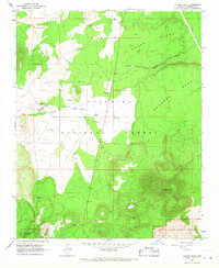
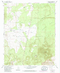
Editions of this 1966 O'Leary Peak Map
3 editions found
Other maps of this area

1886 · San Francisco Mtns
USGS Topo · 1:250,000

1891 · San Francisco Mtns
USGS Topo · 1:250,000

1894 · San Francisco Mtns
USGS Topo · 1:250,000

1899 · San Francisco Mtns
USGS Topo · 1:250,000

1908 · Flagstaff
USGS Topo · 1:125,000

1912 · Flagstaff
USGS Topo · 1:125,000

1947 · Flagstaff
USGS Topo · 1:250,000

1954 · Flagstaff
USGS Topo · 1:250,000

1958 · Flagstaff
USGS Topo · 1:250,000

1960 · Flagstaff
USGS Topo · 1:250,000