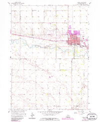
1958 Map of O'Neill
USGS Topo · Published 1986About this map
O'Neill serves as a critical rail and transit hub in north-central Nebraska, situated where the Chicago and North Western and Burlington Northern lines intersect. The urban core shows significant expansion by the mid-1980s, documented in purple revision tinting that highlights new development near the Hospital and along Adams St. This growth is anchored by the Elkhorn River, which meanders through the center of the sheet, and the O'Neill Municipal Airport to the northwest.
Find a feature on this map
27 named features on this map. Tap any name to fly to it.
Don’t see what you’re looking for? This feature index may not catch every label — zoom into the map to look around manually.
Map Details
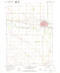
Editions of this 1958 O'Neill Map
3 editions found
Other maps of this area

1954 · Atkinson SE
USGS Topo · 1:24,000

1954 · Opportunity
USGS Topo · 1:24,000

1954 · Meek SW
USGS Topo · 1:24,000

1955 · O'Neill
USGS Topo · 1:250,000

1958 · O'Neill
USGS Topo · 1:24,000

1958 · Inman
USGS Topo · 1:24,000

1959 · O'Neill
USGS Topo · 1:250,000

1964 · O'Neill SE
USGS Topo · 1:24,000

1964 · Emmet SE
USGS Topo · 1:24,000

1964 · O'Neill SW
USGS Topo · 1:24,000