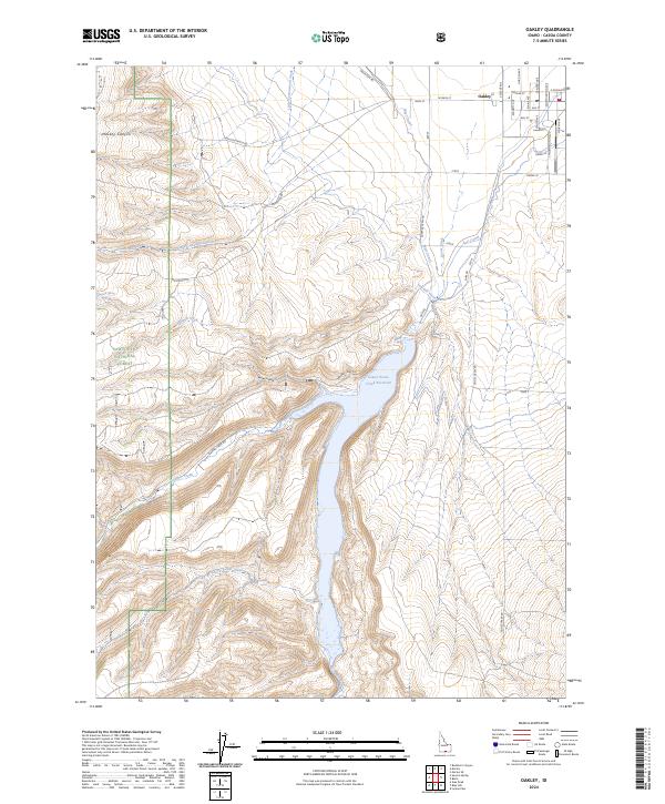
2024 Map of Oakley
USGS Topo · Published 2024About this map
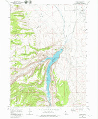
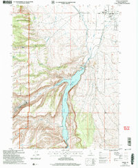
The town of Oakley anchors the northern edge of this high-desert landscape in Cassia County, where a grid of streets like Academy Ave and Worthington Ave gives way to the vast water management systems of southern Idaho. The central feature is the Lower Goose Creek Reservoir, a significant impoundment fed by the waters of Trapper Creek and Sawmill Creek. This hydrological network is essential for the region, distributed through the West Canal and East Canal to support local agriculture. To the west, the terrain rises sharply into the Sawtooth National Forest, marked by steep drainages such as Mackey Canyon and Walker Hollow. The map also traces the paths of Little Cottonwood Creek and Goose Creek, revealing the deep connection between the settlement at Oakley and the vital water sources flowing from the surrounding highlands.
Find a feature on this map
45 named features on this map. Tap any name to fly to it.
Don’t see what you’re looking for? This feature index may not catch every label — zoom into the map to look around manually.
Map Details
Editions of this 2024 Oakley Map
This is the sole edition of this map. No revisions or reprints were ever made.
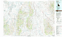
Historical Maps of Oakley Through Time
4 maps found