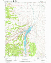
1968 Map of Oakley
USGS Topo · Published 1979About this map
The agricultural and water management infrastructure of southern Idaho is clearly defined in this late 1960s study, centered on the settlement of Oakley. The northern portion of the map shows a grid-based town plan featuring a HS, Cem, and a local Rodeo Ground, all supported by the Union Pacific railroad line. This civilization meets the high desert and mountain foothills to the south and west, where the Sawtooth National Forest boundary begins.
Find a feature on this map
38 named features on this map. Tap any name to fly to it.
Don’t see what you’re looking for? This feature index may not catch every label — zoom into the map to look around manually.
Map Details
Editions of this 1968 Oakley Map
2 editions found
Other maps of this area

1954 · Pocatello
USGS Topo · 1:250,000

1955 · Twin Falls
USGS Topo · 1:250,000

1958 · Twin Falls
USGS Topo · 1:250,000

1958 · Pocatello
USGS Topo · 1:250,000

1965 · Buckhorn Canyon
USGS Topo · 1:24,000

1968 · Basin
USGS Topo · 1:24,000
1968 · Blue Hill
USGS Topo · 1:24,000

1968 · Marion SE
USGS Topo · 1:24,000
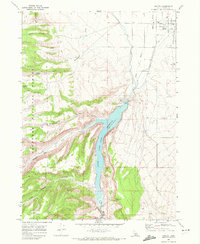
1968 · Oakley
USGS Topo · 1:24,000

1968 · Lyman Pass
USGS Topo · 1:24,000