
1968 Map of Basin
USGS Topo · Published 1972About this map
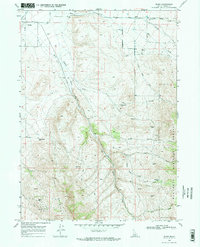
The agrarian and high-desert landscapes of southern Idaho are meticulously detailed here, centered on the settlement of Basin and the eastern edge of Oakley. The map illustrates a complex water management system essential for high-altitude agriculture, featuring the East Canal, an Aqueduct, and a Flume that channel water from sources like Mill Creek and Birch Creek toward the valley floors. These systems reflect the regional reliance on spring-fed irrigation, with several named sources including Warm Spring, Hot Spring, and various unnamed Springs scattered along the slopes of Middle Mountain.
Find a feature on this map
37 named features on this map. Tap any name to fly to it.
Don’t see what you’re looking for? This feature index may not catch every label — zoom into the map to look around manually.
Map Details
Editions of this 1968 Basin Map
2 editions found
Other maps of this area

1954 · Pocatello
USGS Topo · 1:250,000

1958 · Pocatello
USGS Topo · 1:250,000

1968 · Almo
USGS Topo · 1:24,000

1968 · Cache Peak
USGS Topo · 1:24,000
1968 · Blue Hill
USGS Topo · 1:24,000

1968 · Marion SE
USGS Topo · 1:24,000
1968 · Oakley
USGS Topo · 1:24,000

1968 · Mount Harrison
USGS Topo · 1:24,000

1968 · Lyman Pass
USGS Topo · 1:24,000
1968 · Marion
USGS Topo · 1:24,000