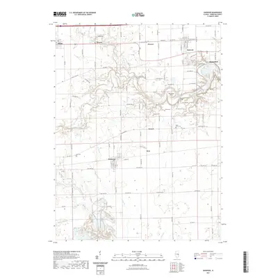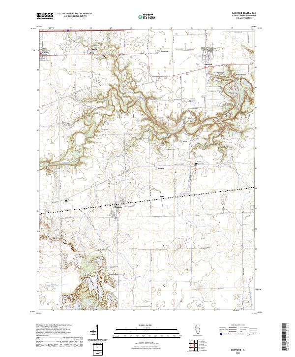
2024 Map of Oakwood
USGS Topo · Published 2024About this map
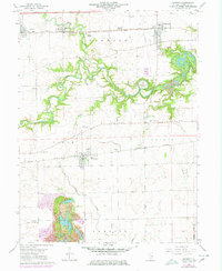
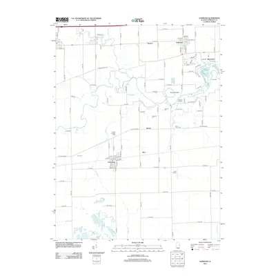
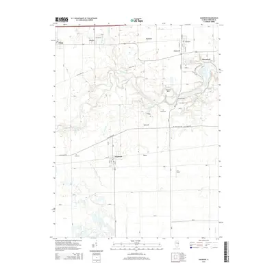
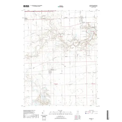
Oakwood and Fairmount anchor this central Illinois landscape, where the meandering course of the Salt Fork river carves a distinct corridor through the prairie. The river’s dramatic loop at Horseshoe Bend and the surrounding woodlands near Missionfield contrast with the rectilinear grid of agricultural roads that define the region's movement. These roads, such as Lincoln Trail Rd and Catlin Homer Rd, connect a series of small rural communities including Fithian, Muncie, and Bronson.
Find a feature on this map
53 named features on this map. Tap any name to fly to it.
Don’t see what you’re looking for? This feature index may not catch every label — zoom into the map to look around manually.
Map Details
Editions of this 2024 Oakwood Map
This is the sole edition of this map. No revisions or reprints were ever made.
Historical Maps of Oakwood Through Time
6 maps found