2024 Map of Oark
USGS Topo · Published 2024About this map
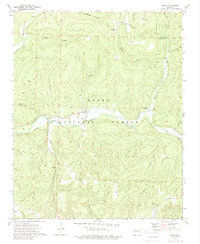
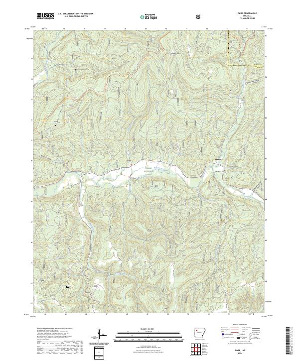
The Mulberry Wild and Scenic River carves a deep valley through the heart of the Ozark National Forest in this survey of northwestern Arkansas. The settlement of Oark serves as a central point of reference along the river, connected to the smaller community of Catalpa by the Mulberry River corridor. The terrain is defined by a dense network of drainages and hollows, including Wolf Pen Hollow and Acord Hollow, which feed into the main waterway. Genealogy and local history researchers will find the Miller Cem located near the headwaters of Little Mulberry Creek. The presence of the Ozark Highlands Trl and various forest roads, such as Panther Creek Rd and Moon Hull Rd, illustrates the intersection of recreation and timber management in this secluded part of Johnson and Newton counties. High points like McConnell Ridge provide a distinct contrast to the low-lying reaches of Washita Creek.
Find a feature on this map
47 named features on this map. Tap any name to fly to it.
Don’t see what you’re looking for? This feature index may not catch every label — zoom into the map to look around manually.
Map Details
Editions of this 2024 Oark Map
This is the sole edition of this map. No revisions or reprints were ever made.