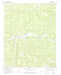
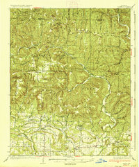
1973 Map of Oark
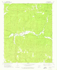
USGS Topo · Published 1989About this map
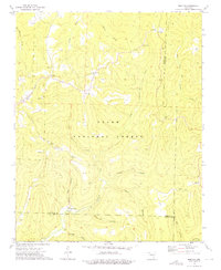
Oark serves as a central point of reference in this pocket of the Ozark National Forest during the early 1970s. The settlement pattern follows the winding course of the Mulberry River, which carves through the landscape alongside smaller tributaries like Little Mulberry Creek and Bowen Creek. The terrain is defined by dramatic elevation changes, evidenced by landmarks such as Hignite Gap and the southern McConnell Ridge.
Find a feature on this map
29 named features on this map. Tap any name to fly to it.
Don’t see what you’re looking for? This feature index may not catch every label — zoom into the map to look around manually.
Map Details
Editions of this 1973 Oark Map
2 editions found
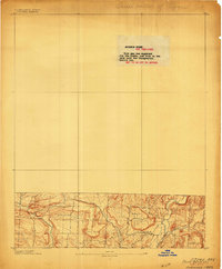
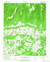
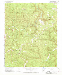
Other maps of this area
1889 · Ozone
USGS Topo · 1:62,500

1906 · Batson
USGS Topo · 1:62,500
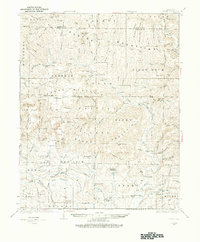
1934 · Ozone
USGS Topo · 1:62,500
1936 · Ozone
USGS Topo · 1:62,500

1956 · Russellville
USGS Topo · 1:250,000
1963 · Harmony
USGS Topo · 1:24,000
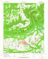
1963 · Hunt
USGS Topo · 1:24,000

1964 · Russellville
USGS Topo · 1:250,000
1967 · Fallsville
USGS Topo · 1:24,000
1973 · Boston
USGS Topo · 1:24,000