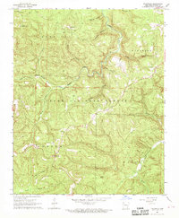
1967 Map of Fallsville
USGS Topo · Published 1968About this map
The Buffalo River headwaters define this deep-cut landscape of the Ozarks during the mid-1960s. High ridges like Turner Ward Knob and Roberts Gap overlook the winding drainage of Main Prong Big Buffalo Creek, while the Buffalo Lookout Tower stands as a sentinel over the Ozark National Forest. The small settlement of Fallsville serves as a local hub near the intersection of Ark. 7, Ark. 16, and Ark. 21.
Find a feature on this map
36 named features on this map. Tap any name to fly to it.
Don’t see what you’re looking for? This feature index may not catch every label — zoom into the map to look around manually.
Map Details
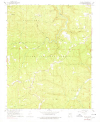
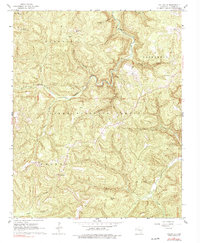
Editions of this 1967 Fallsville Map
3 editions found
Other maps of this area

1889 · Ozone
USGS Topo · 1:62,500

1906 · Batson
USGS Topo · 1:62,500

1934 · Ozone
USGS Topo · 1:62,500

1936 · Ozone
USGS Topo · 1:62,500

1956 · Russellville
USGS Topo · 1:250,000

1964 · Russellville
USGS Topo · 1:250,000
1968 · Swain
USGS Topo · 1:24,000
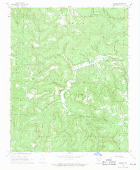
1968 · Murray
USGS Topo · 1:24,000
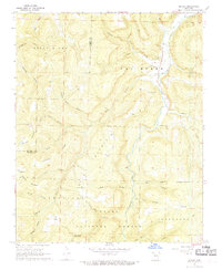
1968 · Boxley
USGS Topo · 1:24,000
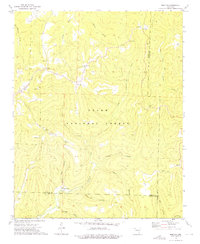
1973 · Boston
USGS Topo · 1:24,000