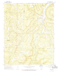
1968 Map of Boxley
USGS Topo · Published 1969About this map
The Buffalo River snakes through the high country of the Ozark National Forest in this late 1960s survey. The small valley settlement of Boxley serves as a focal point, featuring the Walnut Grove Ch and Walnut Grove Cem alongside a Fish Hatchery. The landscape is defined by the massive uplift of Boston Mountain and Van Buren Mountain, which separate the headwaters of the Buffalo from the Kings River drainage to the west. This topography created isolated pockets of settlement like Mossville and Ryker, often centered around community landmarks such as Cave Mountain Ch and the geologic curiosity of Cave Mountain Cave. The map provides a detailed look at the rural road network including 74 and 21, which follow the narrow ridge lines and valley floors of this deeply dissected plateau.
Find a feature on this map
50 named features on this map. Tap any name to fly to it.
Don’t see what you’re looking for? This feature index may not catch every label — zoom into the map to look around manually.
Map Details
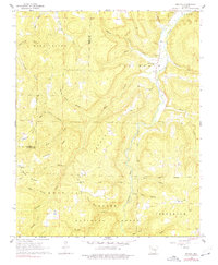
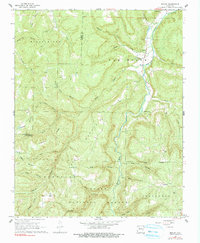
Editions of this 1968 Boxley Map
3 editions found
Other maps of this area

1900 · Eureka Springs
USGS Topo · 1:125,000

1901 · Eureka Springs
USGS Topo · 1:125,000

1904 · Harrison
USGS Topo · 1:125,000

1905 · Harrison
USGS Topo · 1:125,000

1945 · Harrison
USGS Topo · 1:250,000

1949 · Harrison
USGS Topo · 1:250,000

1954 · Harrison
USGS Topo · 1:250,000

1956 · Russellville
USGS Topo · 1:250,000

1958 · Harrison
USGS Topo · 1:250,000

1964 · Russellville
USGS Topo · 1:250,000