
Loading...
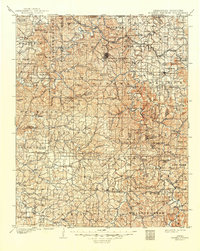
Loading map...1900 Map of Eureka Springs
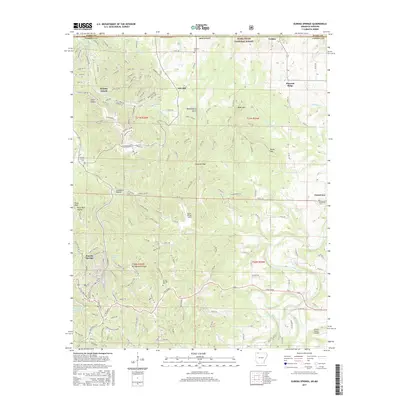
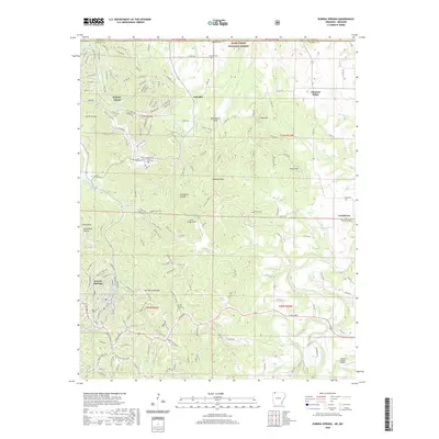
USGS Topo · Published 1954About this map
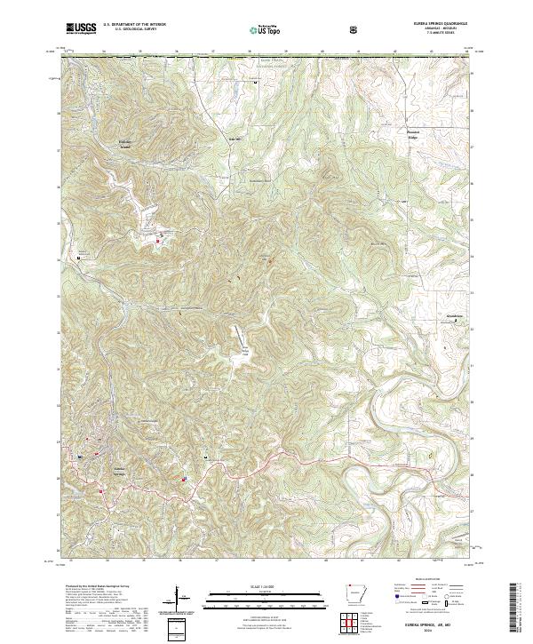
Eureka Springs serves as the focal point of this Ozark Mountain region at the turn of the century, characterized by its winding river valleys and steep ridgelines. The White River and Kings River dominate the drainage system, with the St. Louis & San Francisco R. R. cutting through the northwest corner. This era of transportation is clearly defined by numerous river crossings that predated modern bridge networks, including Knox Ferry and Jennings Ford.
Find a feature on this map
152 named features on this map. Tap any name to fly to it.
Don’t see what you’re looking for? This feature index may not catch every label — zoom into the map to look around manually.
Map Details
Date Portrayed1900
Date Published1954
PublisherU.S. Geological Survey
Map TypeTopographic
Scale1:125,000
Physical Dimensions17 x 20.8 inches
Editions of this 1900 Eureka Springs Map
This is the sole edition of this map. No revisions or reprints were ever made.
Historical Maps of Berryville Through Time
8 maps found
Featured Locations
Source Details
SourceU.S. Geological Survey
CopyrightPublic Domain