
1901 Map of Fayetteville
USGS Topo · Published 1901About this map
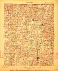
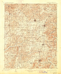
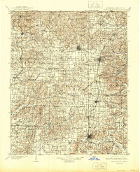
Bentonville and Fayetteville anchor this detailed 1901 survey of Northwest Arkansas, a region then defined by its emerging rail corridors and deep-rooted agricultural settlements. The St. Louis and San Francisco R. R. runs north-south through the center, connecting growing towns like Rogers and Springdale, while the Kansas City Southern Ry serves the western edge through Decatur and Gentry. A significant historical landmark is noted in the northeast corner at the Pea Ridge Battlefield, where Elkhorn Tavern stands near the base of Elkhorn Mountain. The landscape is a network of springs and water-powered industry, evidenced by Osage Mills on Osage Creek and Rhea's Mill to the southwest. From the Illinois River headwaters to the White River bluffs, the map documents the transition from isolated rural townships like Wager and Esculapia into a more connected regional economy.
Find a feature on this map
123 named features on this map. Tap any name to fly to it.
Don’t see what you’re looking for? This feature index may not catch every label — zoom into the map to look around manually.
Map Details
Editions of this 1901 Fayetteville Map
4 editions found
Other maps of this area

1898 · Tahlequah
USGS Topo · 1:125,000

1898 · Winslow
USGS Topo · 1:125,000

1899 · Fayetteville
USGS Topo · 1:125,000

1899 · Siloam Springs
USGS Topo · 1:125,000

1900 · Eureka Springs
USGS Topo · 1:125,000

1901 · Winslow
USGS Topo · 1:125,000

1901 · Eureka Springs
USGS Topo · 1:125,000

1901 · Tahlequah
USGS Topo · 1:125,000

1903 · Siloam Springs
USGS Topo · 1:125,000

1904 · Siloam Springs
USGS Topo · 1:125,000