
Loading...
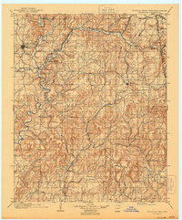
Loading map...1898 Map of Tahlequah
USGS Topo · Published 1954About this map
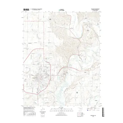
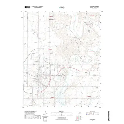
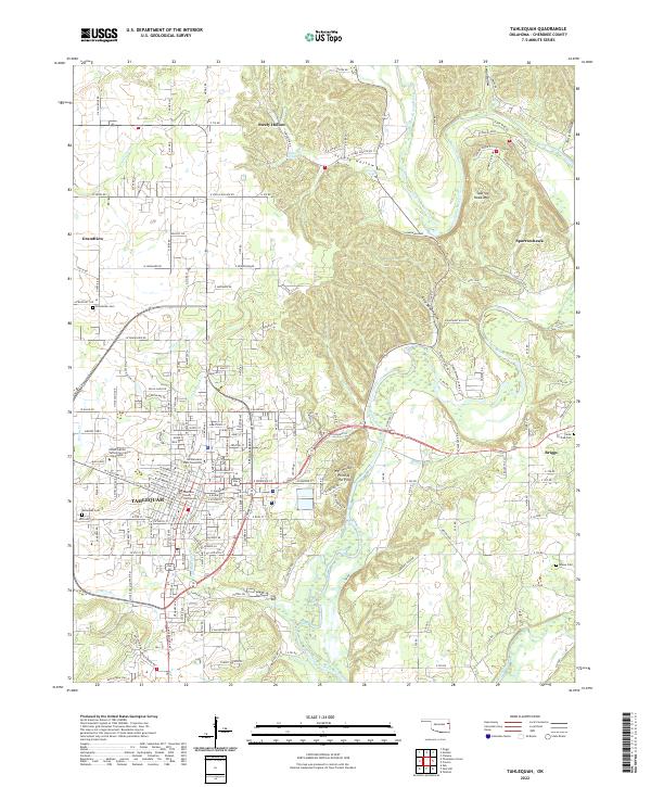
The Tahlequah capital of the Cherokee Nation serves as the central hub of this late-nineteenth-century survey, a landscape defined by the winding Illinois River and the rugged Brushy Mountains. Institutional history is prominent here, with the Cherokee Insane Asylum and the Female Seminary established near the town center. The era's educational and religious foundations are further marked by the Elm Springs Mission near Welling.
Find a feature on this map
50 named features on this map. Tap any name to fly to it.
Don’t see what you’re looking for? This feature index may not catch every label — zoom into the map to look around manually.
Map Details
Date Portrayed1898
Date Published1954
PublisherU.S. Geological Survey
Map TypeTopographic
Scale1:125,000
Physical Dimensions17.1 x 21.2 inches
Editions of this 1898 Tahlequah Map
This is the sole edition of this map. No revisions or reprints were ever made.
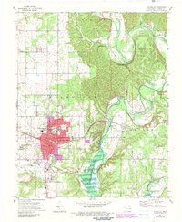
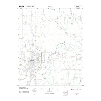
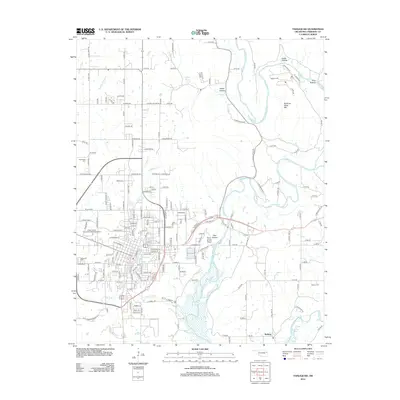
Historical Maps of Tahlequah Through Time
9 maps found

Featured Locations
Source Details
SourceU.S. Geological Survey
CopyrightPublic Domain