
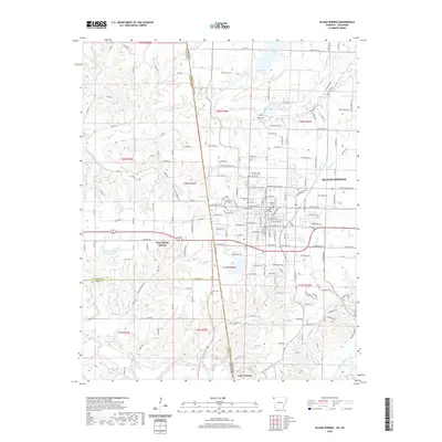
1899 Map of Siloam Springs
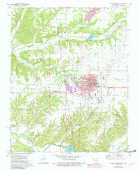
USGS Topo · Published 1954About this map
Siloam Springs anchors the eastern edge of this landscape, situated at the boundary between the Benton Co. hills and the Indian Territory border. At the close of the nineteenth century, this region was defined by a mix of upland prairies and deep drainage systems like Spavinaw Creek and the Illinois River. The map captures a transitional moment for the Cherokee Nation, showing established communities such as Cherokee City, Maysville, and Baptist before Oklahoma statehood.
Find a feature on this map
77 named features on this map. Tap any name to fly to it.
Don’t see what you’re looking for? This feature index may not catch every label — zoom into the map to look around manually.
Map Details
Editions of this 1899 Siloam Springs Map
This is the sole edition of this map. No revisions or reprints were ever made.
Historical Maps of Siloam Springs Through Time
9 maps found
1899 Siloam Springs
Benton County, AR

1903 Siloam Springs
Benton County, AR

1904 Siloam Springs
Benton County, AR
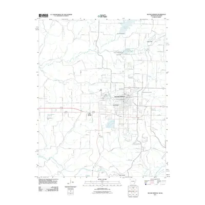
1972 Siloam Springs
Benton County, AR
2011 Siloam Springs
Benton County, AR
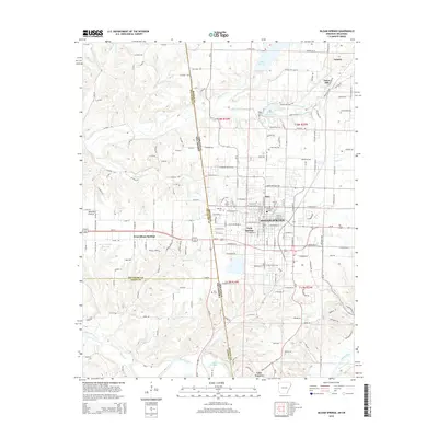
2014 Siloam Springs
Benton County, AR
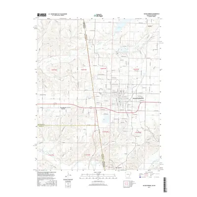
2017 Siloam Springs
Benton County, AR
2020 Siloam Springs
Benton County, AR
2024 Siloam Springs
Benton County, AR