
Loading...
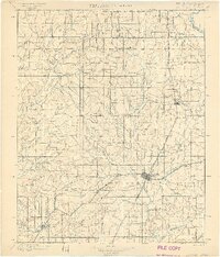
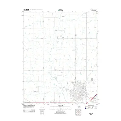
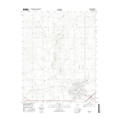
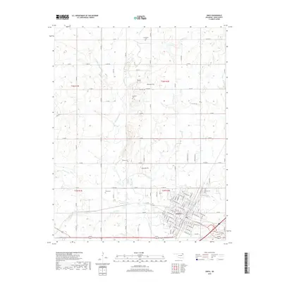
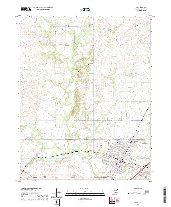
Loading map...1901 Map of Vinita
USGS Topo · Published 1901About this map
Vinita serves as the focal point of this 1890s survey, situated at the critical junction of the Kansas and Texas Division and the St. Louis and San Francisco railroads. This era of the Cherokee Nation is defined by its nascent townsite development and an extensive network of creeks, such as Cabin Creek and Whiteoak Creek, which dictated early settlement patterns. Along the northern edge, the Indian Territory Kansas Boundary Line demarcates the frontier of the territory before Oklahoma's statehood.
Find a feature on this map
55 named features on this map. Tap any name to fly to it.
Don’t see what you’re looking for? This feature index may not catch every label — zoom into the map to look around manually.
Map Details
Date Portrayed1901
Date Published1901
PublisherU.S. Geological Survey
Map TypeTopographic
Scale1:125,000
Physical Dimensions16.8 x 20.1 inches
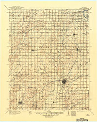
Editions of this 1901 Vinita Map
2 editions found
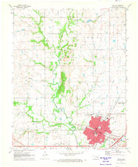
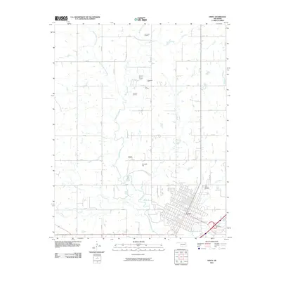
Historical Maps of Vinita Through Time
8 maps found
Featured Locations
Source Details
SourceU.S. Geological Survey
CopyrightPublic Domain