Old Maps of Chelsea, Oklahoma
Explore 12 old maps of Chelsea, spanning from 1901 to today. These high-resolution historic maps reveal how streets, neighborhoods, landmarks, and natural features evolved over time — perfect for genealogy, metal detecting, research, and local history exploration.
What you can do with these maps:
- See how Chelsea changed over time: Compare historical maps to modern-day views to trace roads, homesites, rail lines & more.
- View detailed metadata: Each map includes creators, publishers, year, scale, and archive source.
- Overlay maps with satellite & LiDAR: Visualize the past alongside modern tools to explore terrain & human change.
- Trusted historical sources: Maps sourced from the USGS, Library of Congress, and other archives.
- Access maps your way: View online, download high-res files, or order prints for personal or research use.
Start exploring old maps of Chelsea to uncover forgotten places, hidden landmarks, and the deep history beneath your feet.
Chelsea, OK maps
(12)- 1901 Map of Vinita
 1901 Vinita1901 Print · USGSIndian Territory at the turn of the century shows a landscape of burgeoning railroad towns and Cherokee Nation settlements. Genealogists can trace family roots in early townsites like Vinita, Bluejacket, and Chelsea or locate rural homesteads near Cabin Creek.2 unique versions available
 - 1913 Map of Vinita
 1913 Vinita1913 Print · USGSNortheast Oklahoma at the height of its rail-and-ranch era is meticulously detailed here just as the state was entering its second decade. Genealogists can trace family roots through dozens of local landmarks like W H School, Big Cabin, and the Blue Hawk School.3 unique versions available
 - 1954 Map of Tulsa
 1954 Tulsa1954 Print · USGSNortheast Oklahoma and the Ozark border are shown here during a period of massive industrial and infrastructure growth. Researchers can trace the legacy of the Tri-State Mining District and the development of major reservoirs like Grand Lake O' The Cherokees.2 unique versions available
 - 1958 Map of Tulsa, 1968 Print
 1958 Tulsa1968 Print · USGSNortheast Oklahoma and the Ozark borderlands are captured here during a massive era of reservoir construction and highway expansion. Researchers can trace the mid-century footprints of Tulsa, the sprawling Lake O' the Cherokees, and historical sites like Pea Ridge National Military Park.3 unique versions available
 - 1963 Map of Tulsa
 1963 Tulsa1963 Print · USGSThe Oklahoma and Arkansas borderlands are shown here in the early sixties, a time of massive reservoir construction and heavy mining. Genealogists can trace family roots through settlements like Nowata, Pryor, and Jay, or locate historical zinc and lead mines and coal mines.
 - 1970 Map of Chelsea, 1972 Print
 1970 Chelsea1972 Print · USGSNortheast Oklahoma's extraction landscape is on full display during the early 1970s, as coal and oil operations surround the town of Chelsea. Researchers can trace family history at Shady Grove Cem and Snider Cem or locate industrial sites like the many Strip Mines and the St Louis - San Francisco rail line.3 unique versions available
 - 1985 Map of Bartlesville
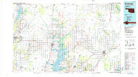 1985 Bartlesville1985 Print · USGSNortheastern Oklahoma in the mid-eighties shows a landscape defined by the Verdigris River and a complex rail network. Researchers can trace the industrial footprint of Strip Mines and find old rail hubs in Nowata and Vinita.2 unique versions available
 - 2010 Map of Chelsea, 2010 Print
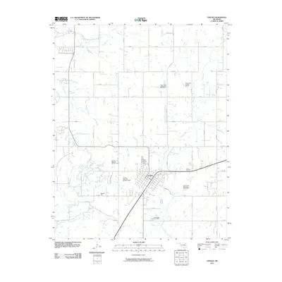 2010 Chelsea2010 Print · USGSChelsea and its surrounding Rogers County farmsteads are captured in the early 21st century. Genealogists can locate family sites like Snider Cemetery and Monarch Field or trace the managed waters of Pryor Creek and its many watershed dams.
 - 2013 Map of Chelsea, 2013 Print
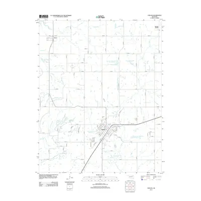 2013 Chelsea2013 Print · USGSThe Rogers County prairie and the community of Chelsea are captured here in the early twenty-first century. Genealogists and local historians can trace family locations near Chelsea Cem, Bowlin Spring, and the outlying settlement of Alluwe.
 - 2016 Map of Chelsea, 2016 Print
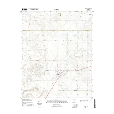 2016 Chelsea2016 Print · USGSThe Chelsea area in the mid-2010s shows a landscape of engineered water management and established rural settlements. Family historians can locate several local burial grounds including Chelsea Cem and Shady Grove Cem while tracing the waters of Pryor Cr.
 - 2018 Map of Chelsea, 2018 Print
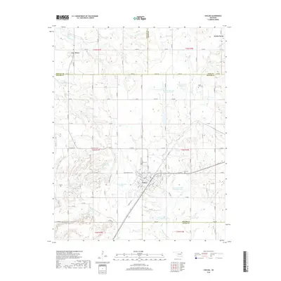 2018 Chelsea2018 Print · USGSNortheastern Oklahoma's prairie and creek bottoms are documented here in Rogers County during the late twenty-teens. Genealogists and local historians can locate Chelsea Cem, Shady Grove Cem, and the small community of New Alluwe near the Nowata county line.
 - 2022 Map of Chelsea, 2022 Print
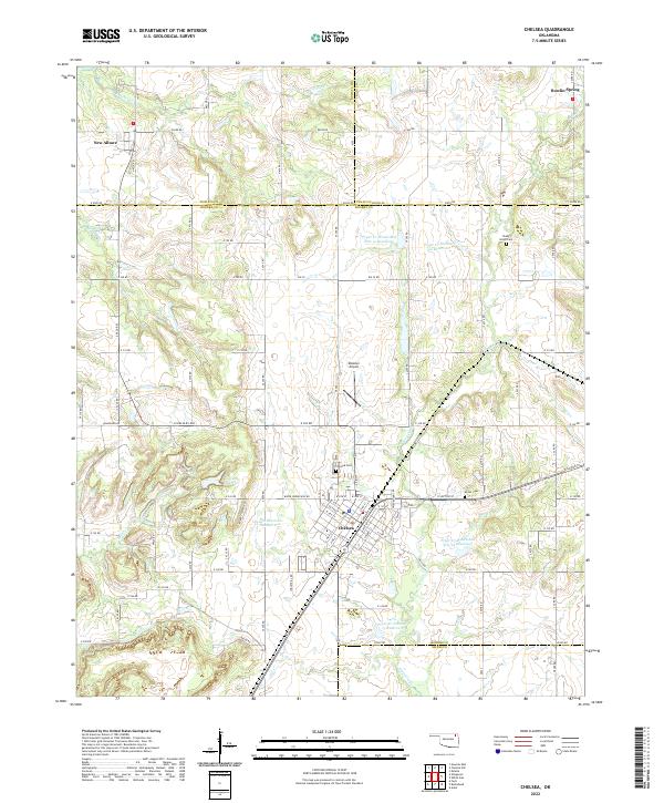 2022 Chelsea2022 Print · USGSNortheast Oklahoma in the early 2020s shows a landscape of established towns and managed water resources. Family historians and local researchers can trace the roads between Chelsea and New Alluwe, finding cemeteries like Shady Grove Cem and Snider Cem along the way.
End of results
Showing maps 1-12 of 12
Top cities near Chelsea
- Claremore historical maps
- Pryor Creek historical maps
- Vinita historical maps
- Nowata historical maps
- Bushyhead historical maps
- Adair historical maps
See more
Frequently asked questions
- What are the different types of historical maps available for Chelsea?
- What is the oldest map of Chelsea?
- Where can I purchase historical maps of Chelsea for my home or office?
- Where can I download high-res historical maps of Chelsea?
- Are there historical topographic maps available for Chelsea?
- Is there historical aerial imagery available for Chelsea?
- Where are historical maps of Chelsea sourced from?