
1901 Map of Pryor
USGS Topo · Published 1901About this map
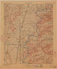
The Neosho River serves as the dominant geographic spine in this region of Indian Territory, carving a winding path through land shared by the Cherokee Nation and Creek Nation. The landscape is defined by its transit networks, where historical river crossings like Markham Ferry, Sixkiller Ferry, and Adams Ford provided essential connections before the era of modern bridges. The Missouri Kansas and Texas Railway runs north-to-south, anchoring settlements such as Pryor Creek, Adair, and Mazie to the burgeoning rail economy.
Find a feature on this map
51 named features on this map. Tap any name to fly to it.
Don’t see what you’re looking for? This feature index may not catch every label — zoom into the map to look around manually.
Map Details
Editions of this 1901 Pryor Map
5 editions found
Other maps of this area

1896 · Okmulgee
USGS Topo · 1:125,000

1896 · Pryor
USGS Topo · 1:125,000

1898 · Tahlequah
USGS Topo · 1:125,000

1899 · Siloam Springs
USGS Topo · 1:125,000

1900 · Okmulgee
USGS Topo · 1:125,000

1901 · Muscogee
USGS Topo · 1:125,000

1901 · Claremore
USGS Topo · 1:125,000

1901 · Nowata
USGS Topo · 1:125,000

1901 · Vinita
USGS Topo · 1:125,000

1901 · Tahlequah
USGS Topo · 1:125,000