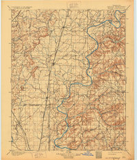
1901 Map of Pryor
USGS Topo · Published 1930About this map
The Cherokee Nation Creek Nation Boundary Line bisects this landscape, illustrating the administrative divisions of Indian Territory just before Oklahoma statehood. Settlement patterns follow the established rail corridors, particularly the Missouri Kansas and Texas R. R. which connects communities like Adair and Pryor Creek. To the east, the Neosho River serves as a major geographical artery, dominated by a series of named river crossings essential for local travel, including Markham Ferry, Adair Ferry, and Sixkiller Ferry. While the western portion of the quadrangle shows emerging towns along the iron rails, the eastern hills around Shaly Bank Mt. and Bryant Hollow remain more sparsely populated, characterized by small settlements like Rose and the winding course of Spring Creek. The map documents a critical transition from tribal lands to a structured agricultural and railroad economy.
Find a feature on this map
46 named features on this map. Tap any name to fly to it.
Don’t see what you’re looking for? This feature index may not catch every label — zoom into the map to look around manually.
Map Details
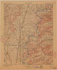
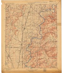
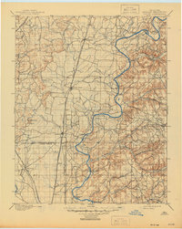
Editions of this 1901 Pryor Map
5 editions found
Other maps of this area

1896 · Okmulgee
USGS Topo · 1:125,000

1896 · Pryor
USGS Topo · 1:125,000

1898 · Tahlequah
USGS Topo · 1:125,000

1899 · Siloam Springs
USGS Topo · 1:125,000

1900 · Okmulgee
USGS Topo · 1:125,000

1901 · Muscogee
USGS Topo · 1:125,000

1901 · Claremore
USGS Topo · 1:125,000

1901 · Nowata
USGS Topo · 1:125,000

1901 · Vinita
USGS Topo · 1:125,000

1901 · Pryor
USGS Topo · 1:125,000