
1901 Map of Muscogee
USGS Topo · Published 1901About this map
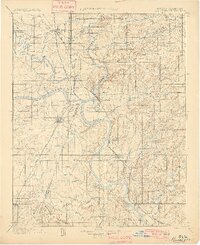
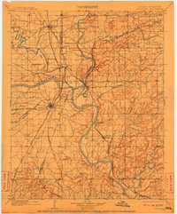
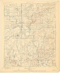
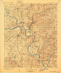
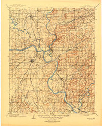
The Creek Nation Cherokee Nation boundary defines the political landscape of this late 19th-century survey, where the confluence of the Verdigris River, Grand or Neosho River, and Arkansas River creates a complex network of travel and trade. In an era before extensive bridging, numerous river crossings like French's Upper Ferry, Harris Ferry, and Tenkillers Ferry on the Illinois River were vital for movement between burgeoning rail towns. The map reveals the early growth of Muscogee and Wagoner alongside established outposts like Fort Gibson. Educational and social foundations are visible at the Seminary and Bacone college near the Arkansas River. The rail infrastructure of the Missouri Kansas and Texas RR and the St. Louis and San Francisco RR intersects at key junctions, signaling the territory's rapid transition towards statehood.
Find a feature on this map
60 named features on this map. Tap any name to fly to it.
Don’t see what you’re looking for? This feature index may not catch every label — zoom into the map to look around manually.
Map Details
Editions of this 1901 Muscogee Map
6 editions found
Other maps of this area

1896 · Okmulgee
USGS Topo · 1:125,000

1896 · Pryor
USGS Topo · 1:125,000

1898 · Tahlequah
USGS Topo · 1:125,000

1899 · Siloam Springs
USGS Topo · 1:125,000

1900 · Sansbois
USGS Topo · 1:125,000

1900 · Canadian
USGS Topo · 1:125,000

1900 · Okmulgee
USGS Topo · 1:125,000

1900 · Sallisaw
USGS Topo · 1:125,000

1901 · Claremore
USGS Topo · 1:125,000

1901 · Pryor
USGS Topo · 1:125,000