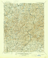
1898 Map of Winslow
USGS Topo · Published 1954About this map
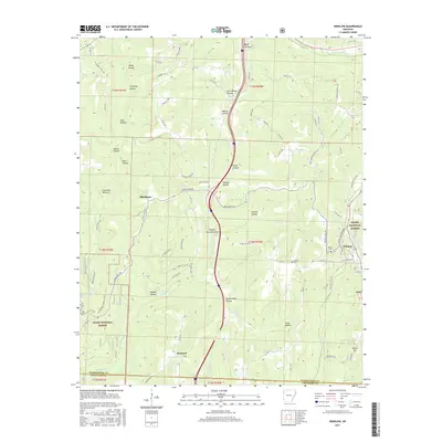
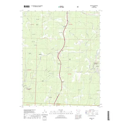
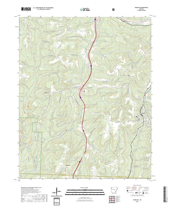
St. Louis & San Francisco RR tracks bisect the high Ozark plateau of Northwest Arkansas, following the rugged spine of the Boston Mountains. This late nineteenth-century survey documents the transition from the Cherokee Nation and Indian Territory to the established agricultural communities of Washington and Crawford counties. Deep incisions from the West Fork White River and Lee Creek create a landscape of isolated ridges like Skylight Mtn and Gaylor Mtn, where small settlements such as Winslow, Prairie Grove, and Boonsboro serve as local hubs. The importance of early industrial commerce is evident in labels like Rheas Mill and the presence of the Quesenbury Road. From the northern Prairie lands down to the deep southern hollows of Frog Bayou, the map reflects a period when rail access was beginning to reshape the river-dependent economies of the Arkansas highlands.
Find a feature on this map
137 named features on this map. Tap any name to fly to it.
Don’t see what you’re looking for? This feature index may not catch every label — zoom into the map to look around manually.
Map Details
Editions of this 1898 Winslow Map
This is the sole edition of this map. No revisions or reprints were ever made.
Historical Maps of Fayetteville Through Time
8 maps found