
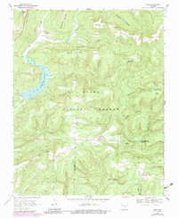
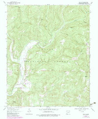
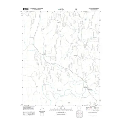
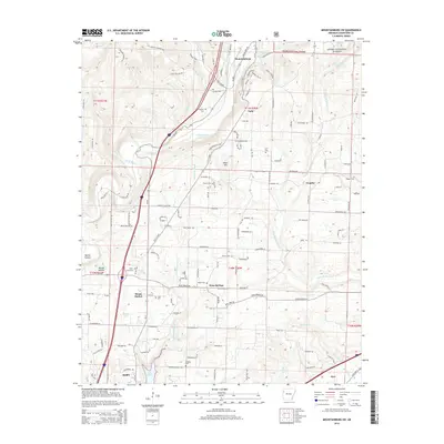
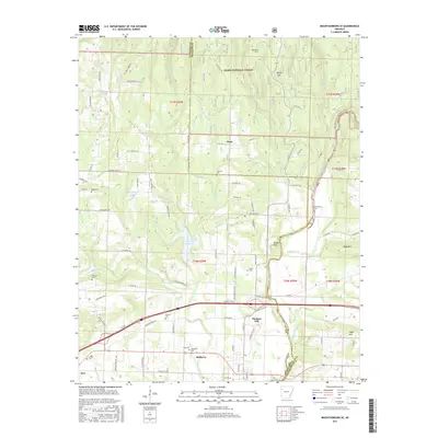
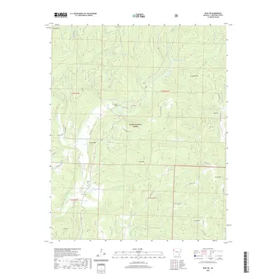
1898 Map of Winslow #3
USGS Topo · Published 1898About this map
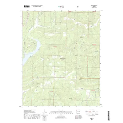
Uniontown and the surrounding Crawford County highlands are documented here during the late nineteenth century, reflecting a landscape defined by small upland settlements and winding creek drainages. This work, originally published by the Geological Survey of Arkansas, highlights a period before the modernization of the Ozark foothills. The eastern edge of the survey follows the route of the St. L. & S. F. R. R. as it parallels Frog Bayou near the community of Rudy. Inland, the terrain is marked by isolated locales such as Cedarville, Stattler, and Oliver Sprs. These settlements are connected by early trails and roads that navigate the complex topography of Webbers Cr. and Clear Creek. The inclusion of specific water sources like Sulphur Spr underscores the importance of natural landmarks to the rural residents of the 1890s.
Find a feature on this map
13 named features on this map. Tap any name to fly to it.
Don’t see what you’re looking for? This feature index may not catch every label — zoom into the map to look around manually.
Map Details
Editions of this 1898 Winslow #3 Map
This is the sole edition of this map. No revisions or reprints were ever made.
Historical Maps of Alma Through Time
32 maps found
1898 Winslow #3
Crawford County, AR

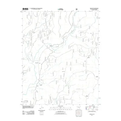
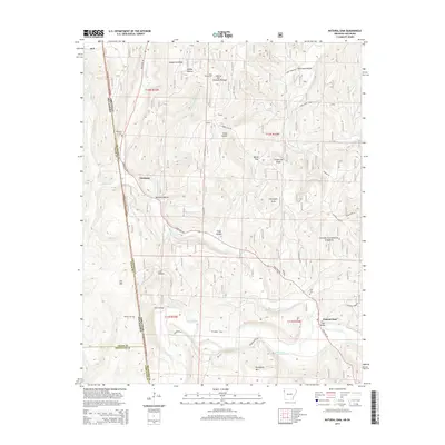
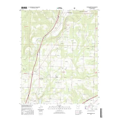
1898 Winslow #4
Crawford County, AR
1969 Fern
Crawford County, AR
1969 Mountainburg SE
Crawford County, AR
1969 Mountainburg SW
Crawford County, AR
1969 Natural Dam
Crawford County, AR
1970 Rudy NE
Crawford County, AR
2011 Fern
Crawford County, AR
2011 Mountainburg SE
Crawford County, AR
2011 Mountainburg SW
Crawford County, AR
2011 Natural Dam
Crawford County, AR
2011 Rudy NE
Crawford County, AR
2014 Fern
Crawford County, AR
2014 Mountainburg SE
Crawford County, AR
2014 Mountainburg SW
Crawford County, AR
2014 Natural Dam
Crawford County, AR
2014 Rudy NE
Crawford County, AR
2017 Fern
Crawford County, AR
2017 Mountainburg SE
Crawford County, AR
2017 Mountainburg SW
Crawford County, AR
2017 Natural Dam
Crawford County, AR
2017 Rudy NE
Crawford County, AR
2020 Fern
Crawford County, AR
2020 Mountainburg SE
Crawford County, AR
2020 Mountainburg SW
Crawford County, AR
2020 Natural Dam
Crawford County, AR
2020 Rudy NE
Crawford County, AR
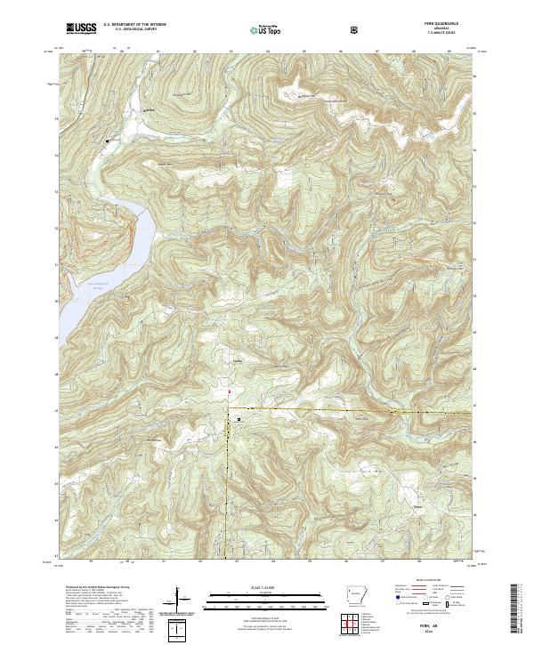
2024 Fern
Crawford County, AR
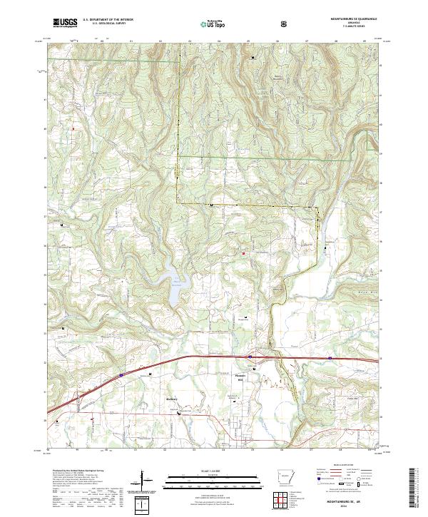
2024 Mountainburg SE
Crawford County, AR
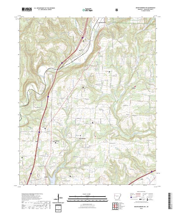
2024 Mountainburg SW
Crawford County, AR
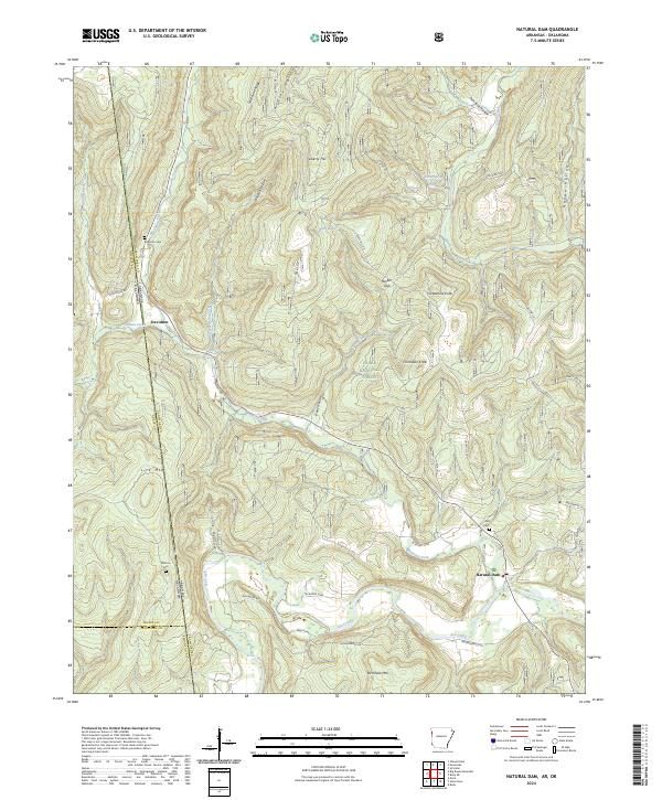
2024 Natural Dam
Crawford County, AR
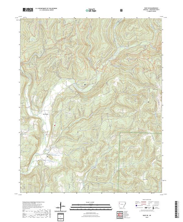
2024 Rudy NE
Crawford County, AR