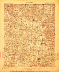
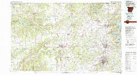
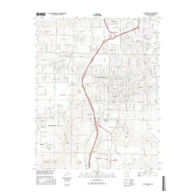
1901 Map of Fayetteville
USGS Topo · Published 1910About this map
The Pea Ridge Battlefield and nearby Elkhorn Tavern anchor the northern landscape of this region as it appeared at the turn of the century. This survey documents the critical development of Northwest Arkansas before the arrival of modern highways, showcasing a network of towns linked by the St. Louis & San Francisco RR and the Kansas City Southern Ry. Major hubs like Bentonville, Fayetteville, and Rogers are shown alongside smaller vanished points and rural post offices such as Osage Mills and Electric Springs. Along the White River, river crossings like the Van Winkle Ferry and Disney Ferry illustrate the early reliance on ferry transport. The terrain is characterized by numerous springs and caves, including Blowing Cave and Silver Springs, which defined local settlement patterns in this period.
Find a feature on this map
126 named features on this map. Tap any name to fly to it.
Don’t see what you’re looking for? This feature index may not catch every label — zoom into the map to look around manually.
Map Details
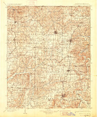
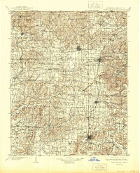
Editions of this 1901 Fayetteville Map
4 editions found

Historical Maps of Fayetteville Through Time
11 maps found

1899 Fayetteville
Washington County, AR
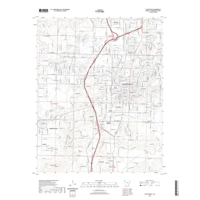
1901 Fayetteville
Washington County, AR

1904 Fayetteville
Washington County, AR
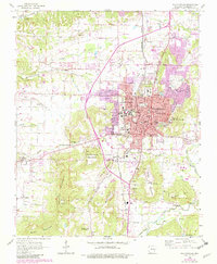
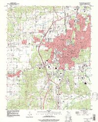
1958 Fayetteville
Washington County, AR
1979 Fayetteville
Washington County, AR
1995 Fayetteville
Washington County, AR
2011 Fayetteville
Washington County, AR
2014 Fayetteville
Washington County, AR
2017 Fayetteville
Washington County, AR
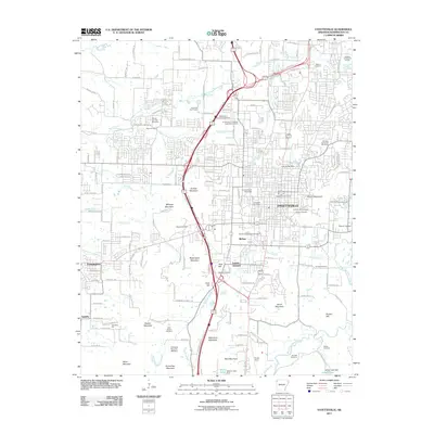
2020 Fayetteville
Washington County, AR
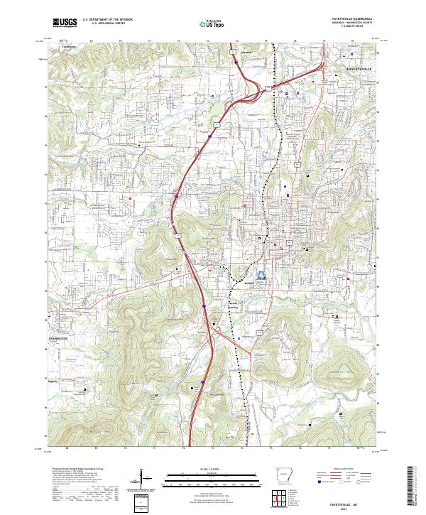
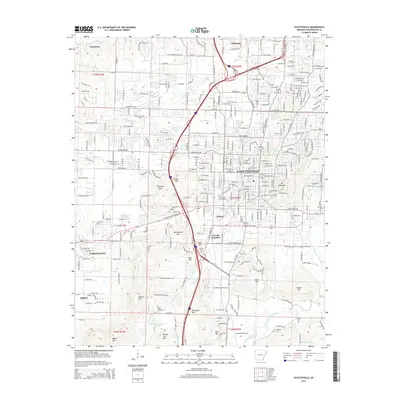
2024 Fayetteville
Washington County, AR