
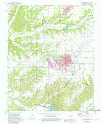
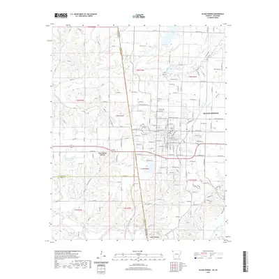
1903 Map of Siloam Springs
USGS Topo · Published 1904About this map
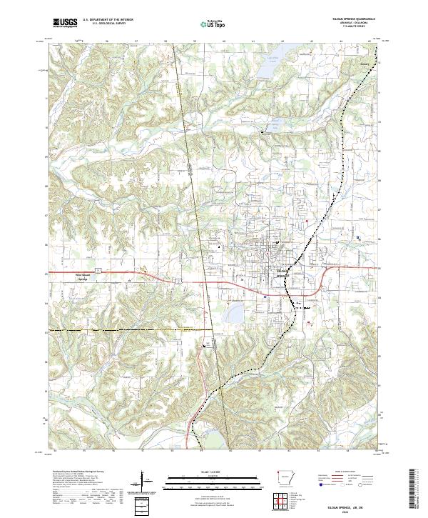
Siloam Springs anchors this detailed survey of the borderlands where the Arkansas line meets the Cherokee Nation in the years before Oklahoma statehood. The landscape is defined by a series of distinct upland openings including Elkhorn Prairie, Long Prairie, and Round Prairie, interspersed with a dense network of hollows such as Indian Grave Hollow and Hazelnut Hollow. The Illinois River and Spavinaw Creek carve through the terrain, supporting early communities like Cincinnati and Maysville. Transportation is dominated by the Kansas City Southern R. R. and the Kansas City Pittsburg and Gulf R. R., which linked these frontier settlements. Smaller landmarks such as Shoaps Store, Round Spring Church, and Baptist Bushyhead Mt provide significant points of interest for genealogists tracing family roots in this culturally complex intersection of Arkansas and Indian Territory.
Find a feature on this map
92 named features on this map. Tap any name to fly to it.
Don’t see what you’re looking for? This feature index may not catch every label — zoom into the map to look around manually.
Map Details
Editions of this 1903 Siloam Springs Map
This is the sole edition of this map. No revisions or reprints were ever made.
Historical Maps of Siloam Springs Through Time
9 maps found

1899 Siloam Springs
Benton County, AR
1903 Siloam Springs
Benton County, AR

1904 Siloam Springs
Benton County, AR
1972 Siloam Springs
Benton County, AR
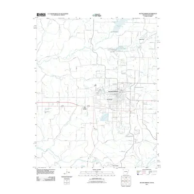
2011 Siloam Springs
Benton County, AR
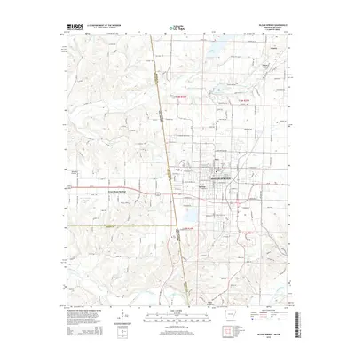
2014 Siloam Springs
Benton County, AR
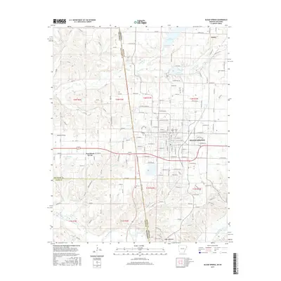
2017 Siloam Springs
Benton County, AR
2020 Siloam Springs
Benton County, AR
2024 Siloam Springs
Benton County, AR