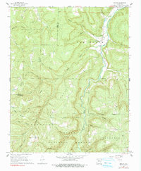
1968 Map of Boxley
USGS Topo · Published 1990About this map
The Buffalo River and Kings River drainage systems define this section of the Boston Mountains within the Ozark National Forest. The 1968 landscape is characterized by narrow river valleys where the small settlements of Boxley and Ponca are situated, the former featuring the Walnut Grove Ch and Walnut Grove Cem. Upland plateaus and steep hollows house isolated community centers such as Ryker and Mossville, alongside remote landmarks like the Cave Mountain Ch and its associated Cave Mountain Cem. The distribution of these churches and cemeteries suggests a pattern of highland subsistence farming and small-scale timber harvesting. Transport through the terrain is restricted to winding routes following natural gaps, connecting these mountain hamlets to local resources like the Fish Hatchery and several gravel pits along the valley floors.
Find a feature on this map
51 named features on this map. Tap any name to fly to it.
Don’t see what you’re looking for? This feature index may not catch every label — zoom into the map to look around manually.
Map Details
Editions of this 1968 Boxley Map
3 editions found
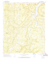
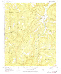
Other maps of this area

1900 · Eureka Springs
USGS Topo · 1:125,000

1901 · Eureka Springs
USGS Topo · 1:125,000

1904 · Harrison
USGS Topo · 1:125,000

1905 · Harrison
USGS Topo · 1:125,000

1945 · Harrison
USGS Topo · 1:250,000

1949 · Harrison
USGS Topo · 1:250,000

1954 · Harrison
USGS Topo · 1:250,000

1956 · Russellville
USGS Topo · 1:250,000

1958 · Harrison
USGS Topo · 1:250,000

1964 · Russellville
USGS Topo · 1:250,000