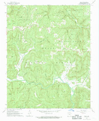
1968 Map of Swain
USGS Topo · Published 1969About this map
Ozark National Forest covers much of this 1968 landscape, where small communities like Swain and Limestone occupy the high ridges and valley floors. The mapping reveals a network of hollows and ridges that define the Ozark interior, including Dismal Hollow and Possum Trot Hollow. For genealogists, the map is particularly valuable for its documentation of numerous small burial grounds, such as Union Grove Cem, Hickory Grove Cem, and Lone Hill Cem, which are often the primary markers of historical settlement in these remote townships. The hydrology is dominated by the East Fork Little Buffalo River and Big Piney Creek, with a single Quarry near Buckner Hollow indicating the local extraction industry of the era.
Find a feature on this map
71 named features on this map. Tap any name to fly to it.
Don’t see what you’re looking for? This feature index may not catch every label — zoom into the map to look around manually.
Map Details
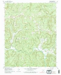
Editions of this 1968 Swain Map
2 editions found
Other maps of this area

1889 · Treat
USGS Topo · 1:62,500

1889 · Ozone
USGS Topo · 1:62,500

1932 · Treat
USGS Topo · 1:62,500

1933 · Mt Judea
USGS Topo · 1:62,500

1934 · Treat
USGS Topo · 1:62,500

1934 · Ozone
USGS Topo · 1:62,500

1936 · Ozone
USGS Topo · 1:62,500

1940 · Mt Judea
USGS Topo · 1:62,500

1956 · Russellville
USGS Topo · 1:250,000

1964 · Russellville
USGS Topo · 1:250,000