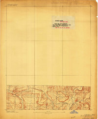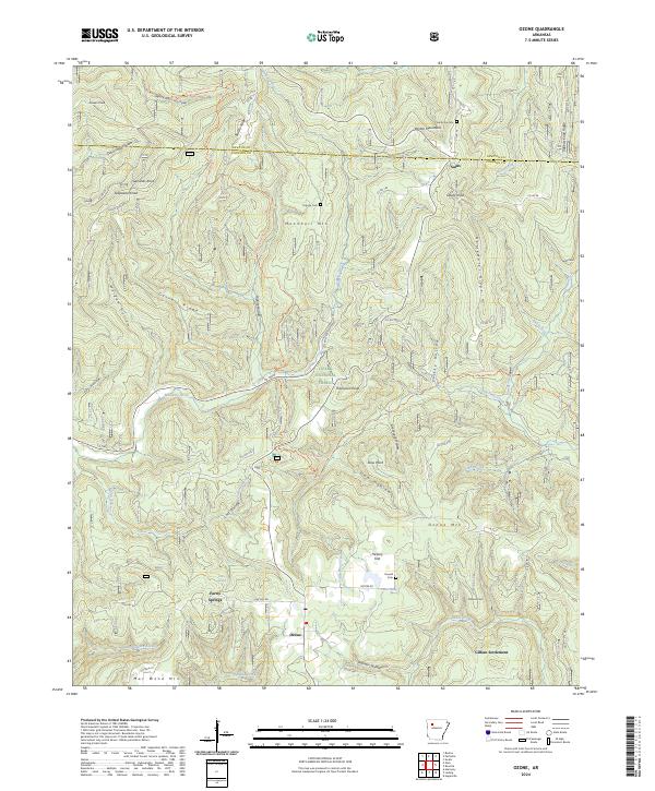
1934 Map of Ozone
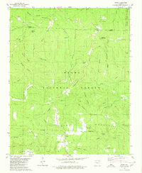
USGS Topo · Published 1975About this map
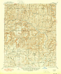
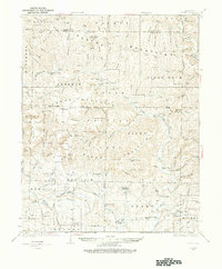
The Boston Mountains landscape of northern Arkansas is documented here just before the mid-1930s, revealing a rugged upland economy built on timber and subsistence farming. Scattered settlements such as Salus, Ozone, and Hagarville anchor a network of isolated rural communities, many of which are identified by their schools and churches. Notable clusters like the Gillian Settlement and Strawberry Settlement suggest deep-rooted family-based landholdings typical of this era in Johnson County.
Find a feature on this map
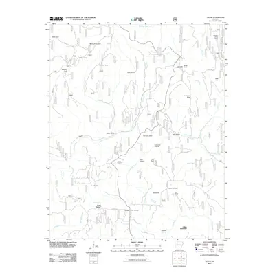
114 named features on this map. Tap any name to fly to it.
Don’t see what you’re looking for? This feature index may not catch every label — zoom into the map to look around manually.
Map Details
Editions of this 1934 Ozone Map
This is the sole edition of this map. No revisions or reprints were ever made.
Historical Maps of Mount Zion Through Time
9 maps found