
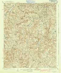
1940 Map of Mt Judea
USGS Topo · Published 1940About this map
The Boston Mountains define the physical and social geography of this Newton County region, where 1930s life was centered around high ridges and narrow creek bottoms. Small community hubs such as Mt Judea and Parthenon serve as anchors for a network of rural institutions, including the Union Hill Sch & Ch and White House Sch. The map reveals a landscape managed for both preservation and utility, dominated by the Ozark National Forest and monitored by the Deer Fire Tower and Ketcherside Fire Tower.
Find a feature on this map
73 named features on this map. Tap any name to fly to it.
Don’t see what you’re looking for? This feature index may not catch every label — zoom into the map to look around manually.
Map Details
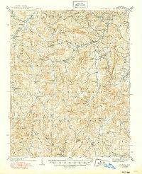
Editions of this 1940 Mt Judea Map
3 editions found
Other maps of this area

1879 · Washington
USGS Topo · 1:62,500

1887 · Smyrna
USGS Topo · 1:62,500

1889 · Treat
USGS Topo · 1:62,500

1889 · Marshall #3
USGS Topo · 1:62,500

1889 · Ozone
USGS Topo · 1:62,500

1892 · Marshall
USGS Topo · 1:125,000

1893 · Yellville
USGS Topo · 1:125,000

1894 · Marshall
USGS Topo · 1:125,000

1901 · Marshall
USGS Topo · 1:125,000

1903 · Yellville
USGS Topo · 1:125,000