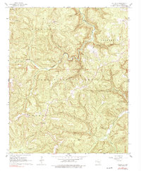
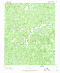
1967 Map of Fallsville
USGS Topo · Published 1978About this map
The Buffalo River headwaters dominate this terrain within the Ozark National Forest, where steep hollows like Bowers Hollow and Hubbard Hollow carve through the Boston Mountains. Small mountain settlements and family landmarks are scattered throughout the landscape, anchored by the community of Fallsville, which serves as a central point along State Highway 16 & 21. The area's high-elevation vantages are marked by the Buffalo Lookout Tower near Roberts Gap, providing a strategic overlook for forest management in the 1960s.
Find a feature on this map
37 named features on this map. Tap any name to fly to it.
Don’t see what you’re looking for? This feature index may not catch every label — zoom into the map to look around manually.
Map Details
Editions of this 1967 Fallsville Map
3 editions found
Other maps of this area

1889 · Ozone
USGS Topo · 1:62,500

1906 · Batson
USGS Topo · 1:62,500

1934 · Ozone
USGS Topo · 1:62,500

1936 · Ozone
USGS Topo · 1:62,500

1956 · Russellville
USGS Topo · 1:250,000

1964 · Russellville
USGS Topo · 1:250,000
1967 · Fallsville
USGS Topo · 1:24,000
1968 · Swain
USGS Topo · 1:24,000
1968 · Murray
USGS Topo · 1:24,000
1968 · Boxley
USGS Topo · 1:24,000