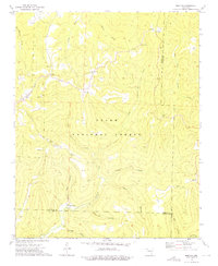
1973 Map of Boston
USGS Topo · Published 1976About this map
The Ozark National Forest dominates this landscape, where the high ridges of the Boston Mountains divide several major drainage basins. This mid-1970s survey captures a rural landscape defined by small upland settlements like Boston and Red Star, as well as the specialized industrial site at Spoke Plant. The map reveals the intricate network of hollows—including Clifty Hollow, Lynn Hollow, and Pour Off Hollow—that feed into the headwaters of the White River and Mulberry Creek. Numerous small burial grounds, such as Evans Cem, Pine Grove Cem, and Buckhorn Cem, are scattered throughout the hills, providing a valuable record of local families and established rural communities during this era. High-altitude landmarks like the Boston Lookout Tower and Locust Gap illustrate the survey's focus on topographic prominence in this heavily wooded portion of the Arkansas Ozarks.
Find a feature on this map
37 named features on this map. Tap any name to fly to it.
Don’t see what you’re looking for? This feature index may not catch every label — zoom into the map to look around manually.
Map Details
Editions of this 1973 Boston Map
2 editions found
Other maps of this area

1889 · Ozone
USGS Topo · 1:62,500

1906 · Batson
USGS Topo · 1:62,500

1934 · Ozone
USGS Topo · 1:62,500

1936 · Ozone
USGS Topo · 1:62,500

1956 · Russellville
USGS Topo · 1:250,000

1964 · Russellville
USGS Topo · 1:250,000
1967 · Fallsville
USGS Topo · 1:24,000
1968 · Boxley
USGS Topo · 1:24,000
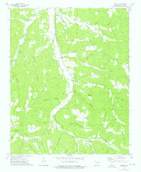
1973 · Witter
USGS Topo · 1:24,000
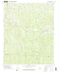
1973 · Pettigrew
USGS Topo · 1:24,000