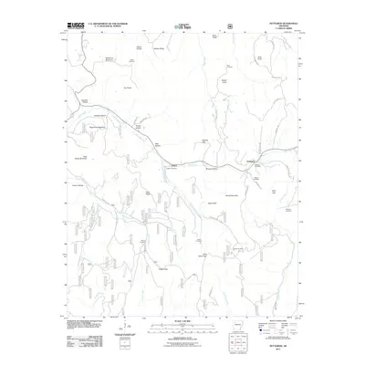
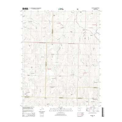
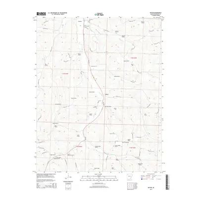
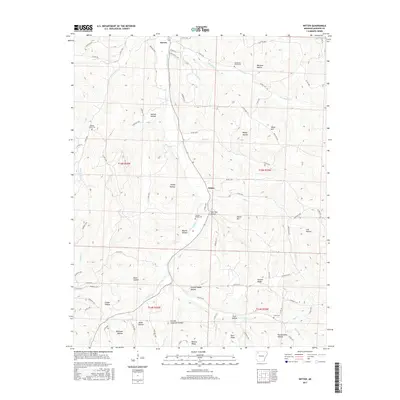
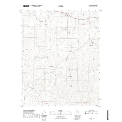
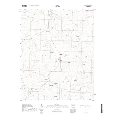
1973 Map of Witter
USGS Topo · Published 1976About this map
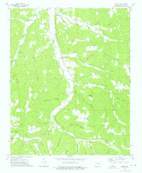
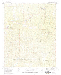
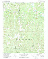
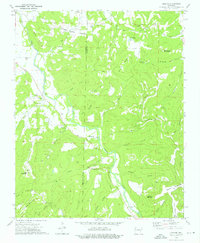
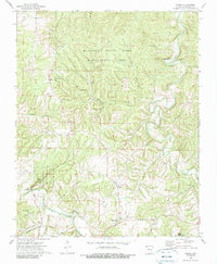
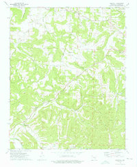
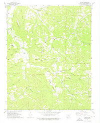
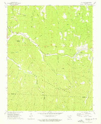
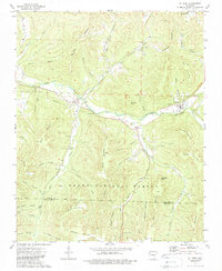
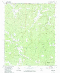
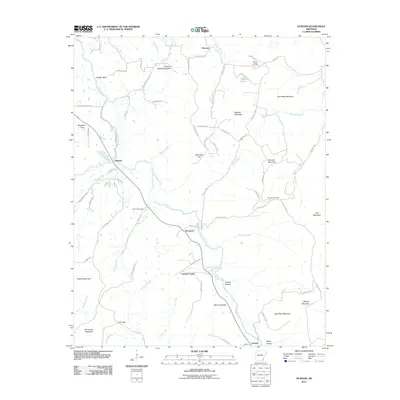
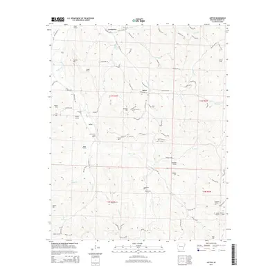
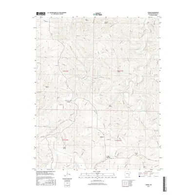
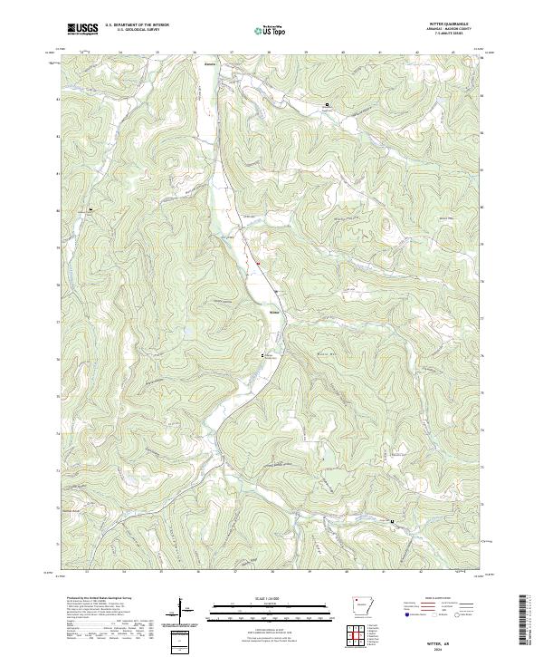
War Eagle Creek and its many tributaries, including Eagle War Creek and Dry Fork, carve a complex network of hollows through this Madison County landscape in the early 1970s. The small settlements of Aurora and Witter serve as local hubs, connected by winding roads that skirt the base of Venus Mountain and Moore Mountain. For family historians, the map is remarkably dense with legacy landmarks, preserving the locations of Captain Smiths Cem, Jackson Creek Cem, and Cove Cem. This era shows a rural community defined by its topography, where dwellings and small institutions like the Ogden Ch are clustered in the narrow valleys of Reeves Hollow and Slow Tom Hollow, illustrating the enduring influence of the Ozark terrain on local settlement patterns.
Find a feature on this map
38 named features on this map. Tap any name to fly to it.
Don’t see what you’re looking for? This feature index may not catch every label — zoom into the map to look around manually.
Map Details
Editions of this 1973 Witter Map
This is the sole edition of this map. No revisions or reprints were ever made.
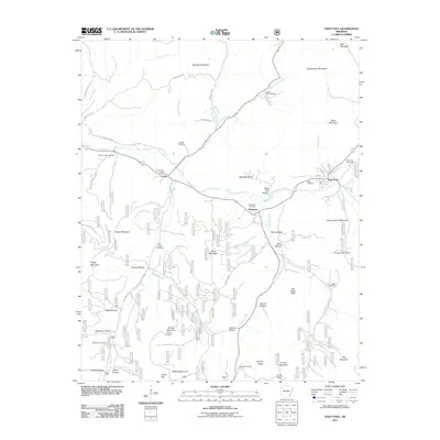
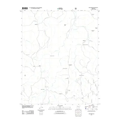
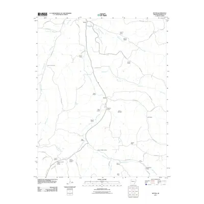
Historical Maps of Witter Through Time
60 maps found
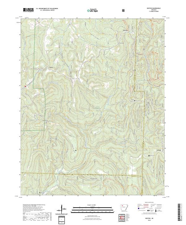
1973 Boston
Madison County, AR
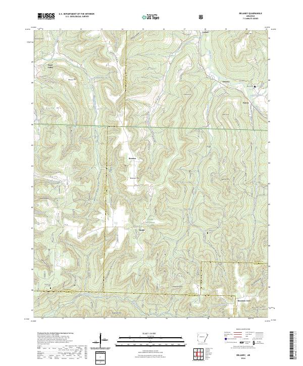
1973 Delaney
Madison County, AR
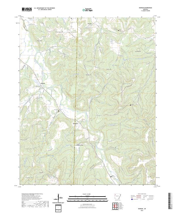
1973 Durham
Madison County, AR
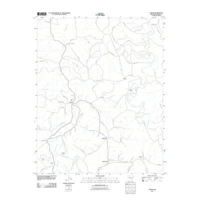
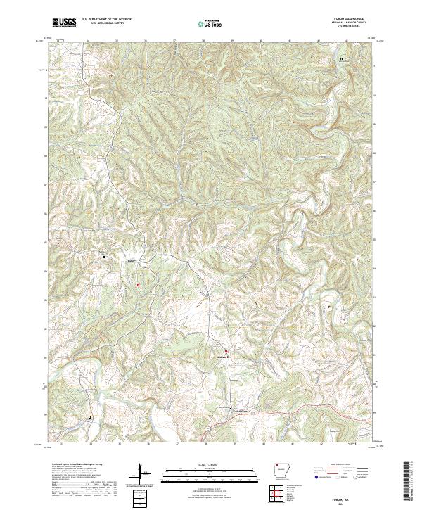
1973 Forum
Madison County, AR
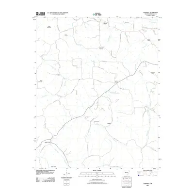
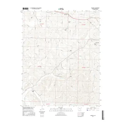
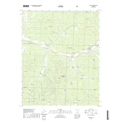
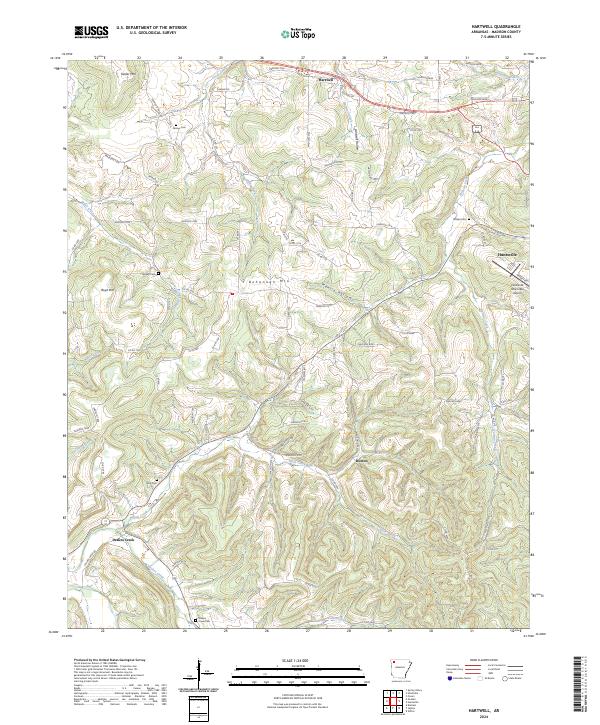
1973 Hartwell
Madison County, AR
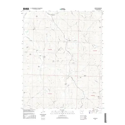
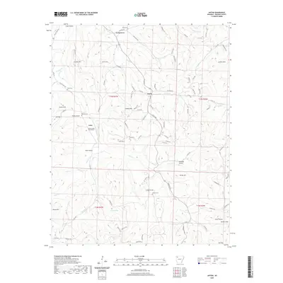
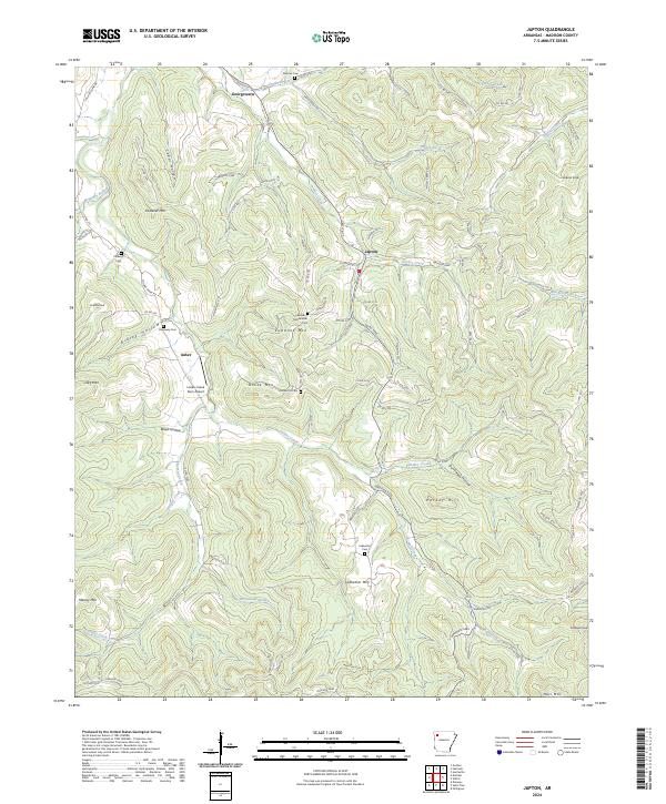
1973 Japton
Madison County, AR
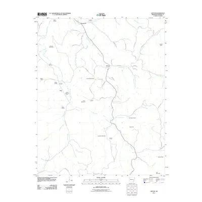
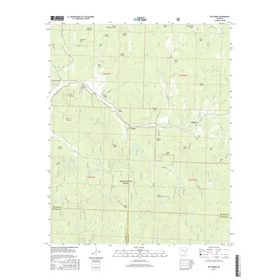
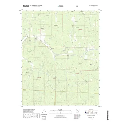
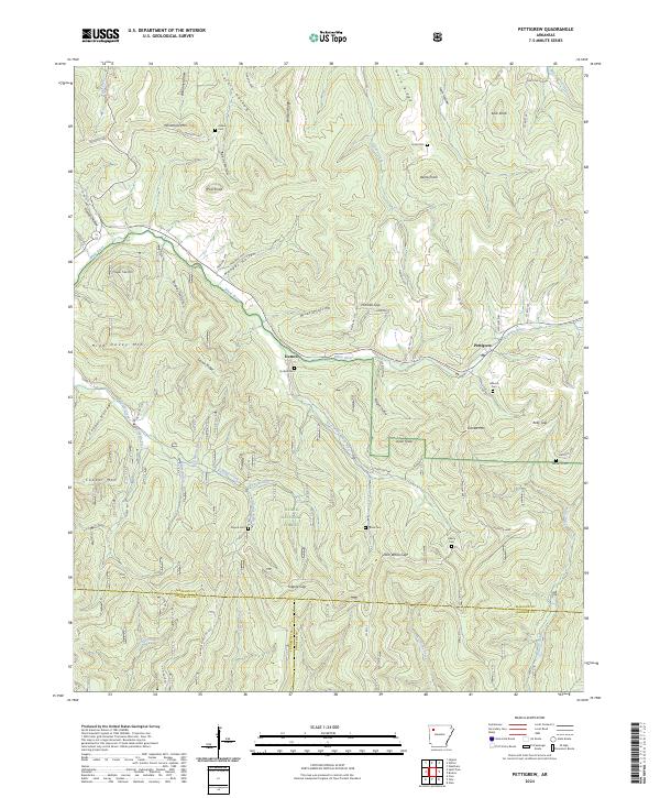
1973 Pettigrew
Madison County, AR
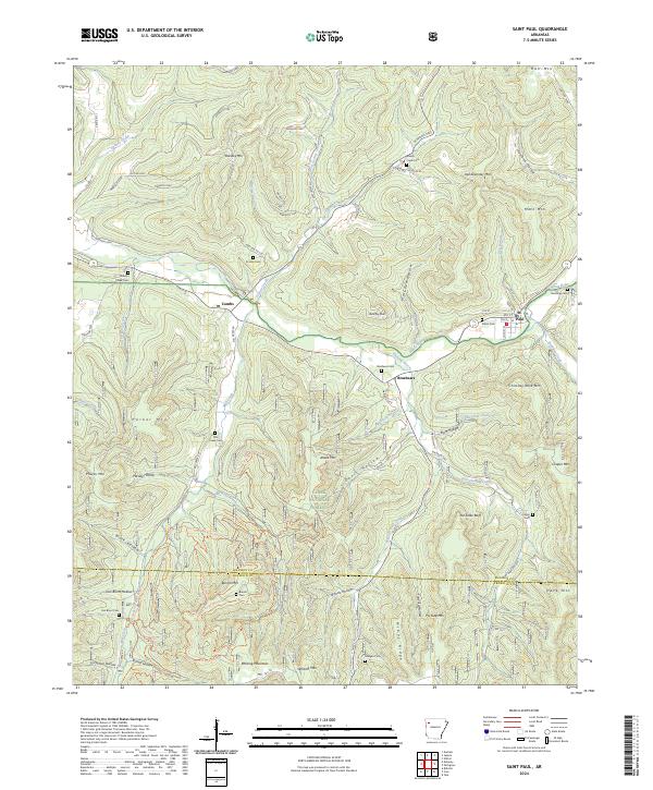
1973 St Paul
Madison County, AR
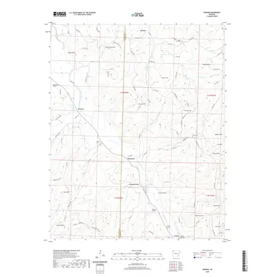
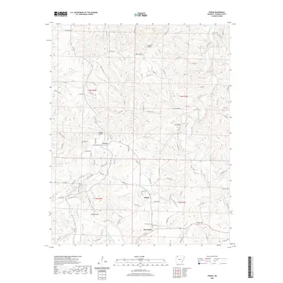
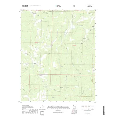
1973 Weathers
Madison County, AR
1973 Witter
Madison County, AR
2011 Boston
Madison County, AR
2011 Delaney
Madison County, AR
2011 Durham
Madison County, AR
2011 Forum
Madison County, AR
2011 Hartwell
Madison County, AR
2011 Japton
Madison County, AR
2011 Pettigrew
Madison County, AR
2011 Saint Paul
Madison County, AR
2011 Weathers
Madison County, AR
2011 Witter
Madison County, AR

2014 Boston
Madison County, AR
2014 Delaney
Madison County, AR
2014 Durham
Madison County, AR
2014 Forum
Madison County, AR
2014 Hartwell
Madison County, AR
2014 Japton
Madison County, AR
2014 Pettigrew
Madison County, AR
2014 Saint Paul
Madison County, AR
2014 Weathers
Madison County, AR
2014 Witter
Madison County, AR
2017 Boston
Madison County, AR
2017 Delaney
Madison County, AR
2017 Durham
Madison County, AR
2017 Forum
Madison County, AR
2017 Hartwell
Madison County, AR
2017 Japton
Madison County, AR
2017 Pettigrew
Madison County, AR
2017 Saint Paul
Madison County, AR
2017 Weathers
Madison County, AR
2017 Witter
Madison County, AR

2020 Boston
Madison County, AR
2020 Delaney
Madison County, AR
2020 Durham
Madison County, AR
2020 Forum
Madison County, AR
2020 Hartwell
Madison County, AR
2020 Japton
Madison County, AR
2020 Pettigrew
Madison County, AR
2020 Saint Paul
Madison County, AR
2020 Weathers
Madison County, AR
2020 Witter
Madison County, AR
2024 Boston
Madison County, AR
2024 Delaney
Madison County, AR
2024 Durham
Madison County, AR
2024 Forum
Madison County, AR
2024 Hartwell
Madison County, AR
2024 Japton
Madison County, AR
2024 Pettigrew
Madison County, AR
2024 Saint Paul
Madison County, AR
2024 Weathers
Madison County, AR
2024 Witter
Madison County, AR