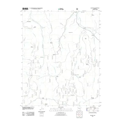
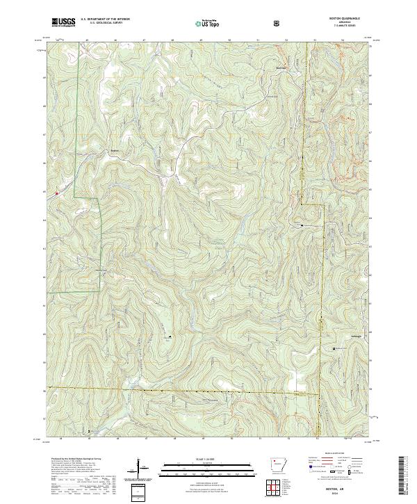
1973 Map of Boston
USGS Topo · Published 1983About this map
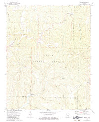
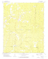
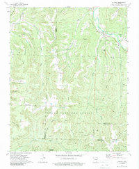
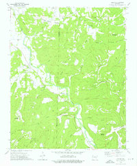
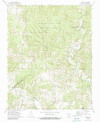
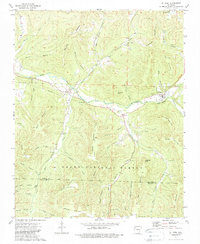
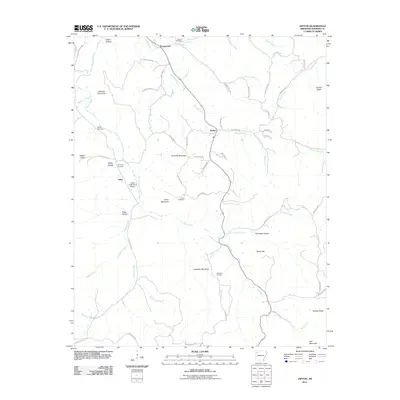
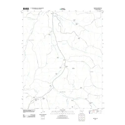
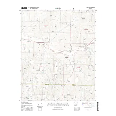
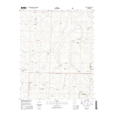
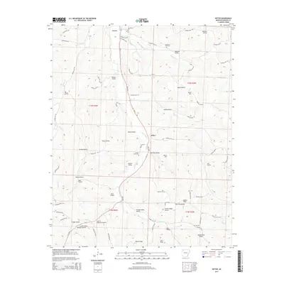
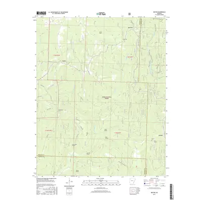
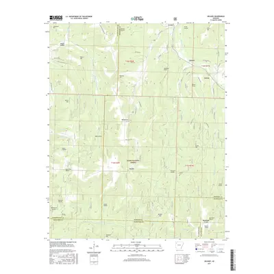
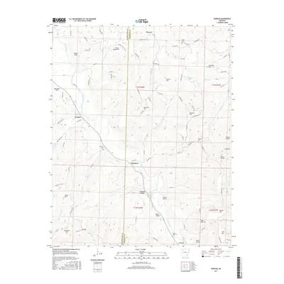
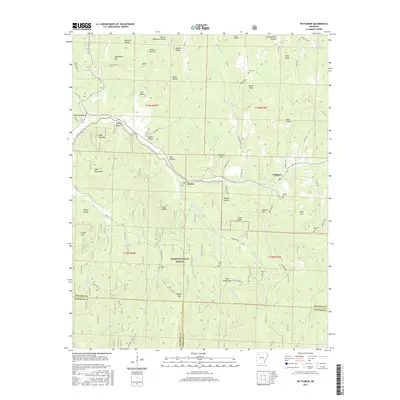
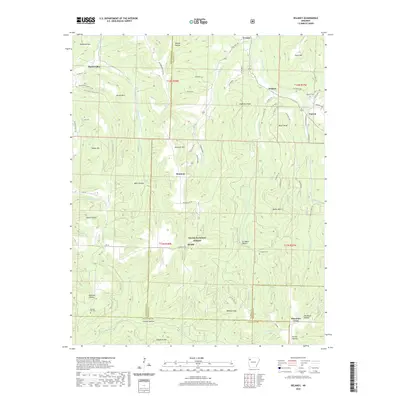
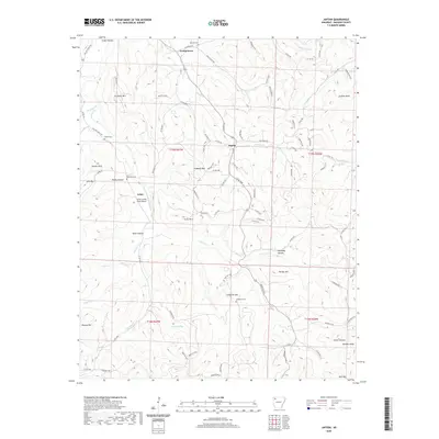
Boston and the surrounding high-country ridges of the Ozark National Forest define this 1970s landscape at the triple junction of Madison, Newton, and Johnson Counties. The area is characterized by a network of deeply incised hollows and narrow ridges that dictated early settlement patterns, with small communities like Red Star and Arbaugh positioned near the headwaters of major drainage systems. The presence of Spoke Plant in the southern portion of the map points to a localized timber or manufacturing industry dependent on the area's timber resources, while the Boston Lookout Tower stands as a sentinel over the timbered terrain.
Find a feature on this map
38 named features on this map. Tap any name to fly to it.
Don’t see what you’re looking for? This feature index may not catch every label — zoom into the map to look around manually.
Map Details
Editions of this 1973 Boston Map
2 editions found
Historical Maps of Boston Through Time
60 maps found
1973 Boston
Madison County, AR
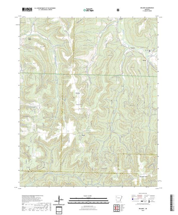
1973 Delaney
Madison County, AR
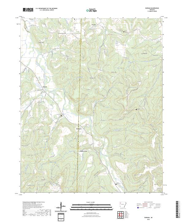
1973 Durham
Madison County, AR
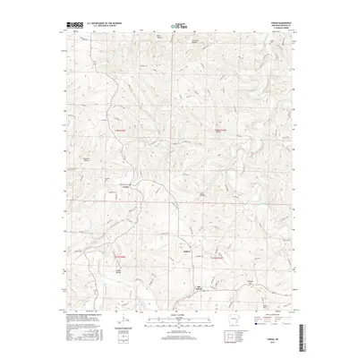
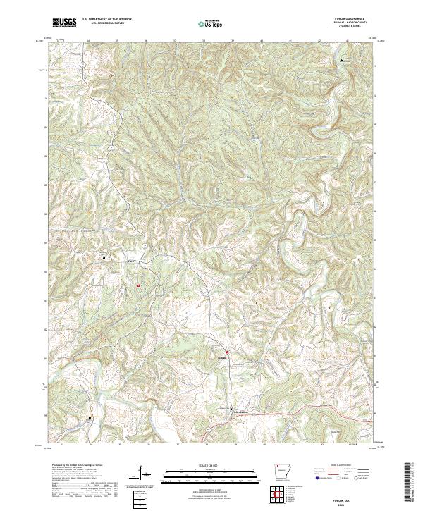
1973 Forum
Madison County, AR
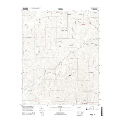
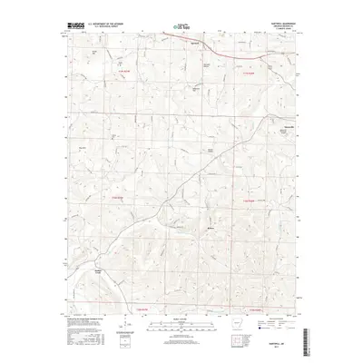
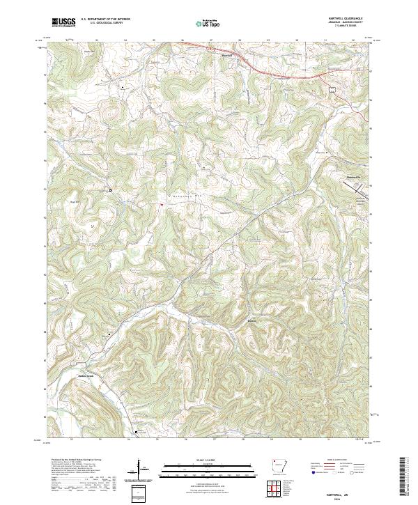
1973 Hartwell
Madison County, AR
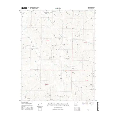
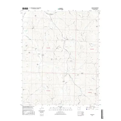
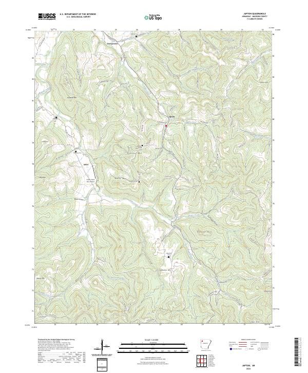
1973 Japton
Madison County, AR
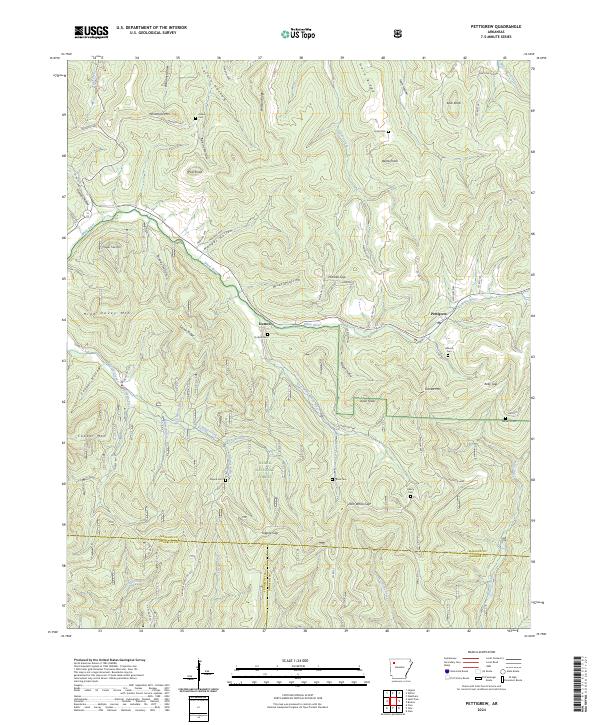
1973 Pettigrew
Madison County, AR
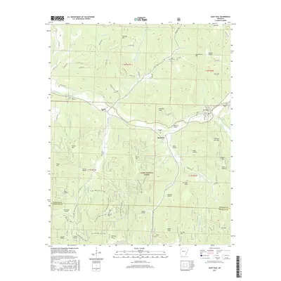
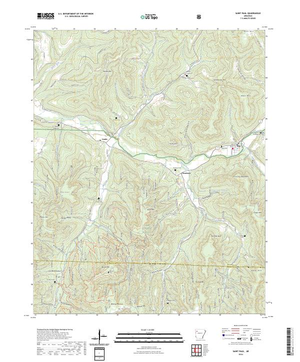
1973 St Paul
Madison County, AR
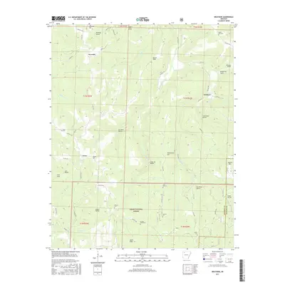
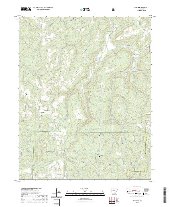
1973 Weathers
Madison County, AR
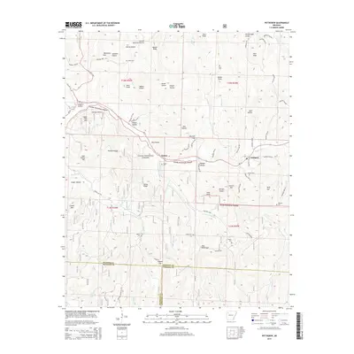
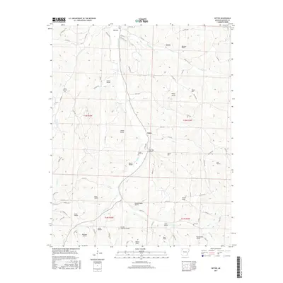
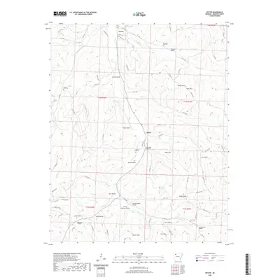
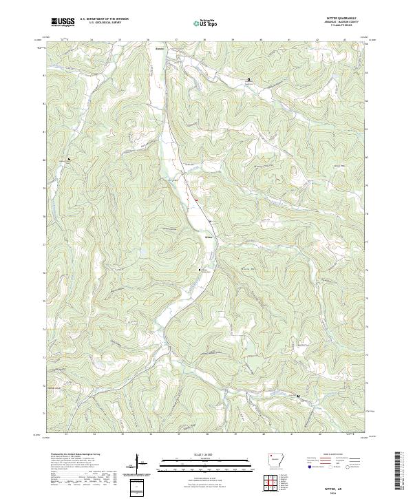
1973 Witter
Madison County, AR
2011 Boston
Madison County, AR
2011 Delaney
Madison County, AR
2011 Durham
Madison County, AR
2011 Forum
Madison County, AR
2011 Hartwell
Madison County, AR
2011 Japton
Madison County, AR
2011 Pettigrew
Madison County, AR
2011 Saint Paul
Madison County, AR
2011 Weathers
Madison County, AR
2011 Witter
Madison County, AR

2014 Boston
Madison County, AR
2014 Delaney
Madison County, AR
2014 Durham
Madison County, AR
2014 Forum
Madison County, AR
2014 Hartwell
Madison County, AR
2014 Japton
Madison County, AR
2014 Pettigrew
Madison County, AR
2014 Saint Paul
Madison County, AR
2014 Weathers
Madison County, AR
2014 Witter
Madison County, AR
2017 Boston
Madison County, AR
2017 Delaney
Madison County, AR
2017 Durham
Madison County, AR
2017 Forum
Madison County, AR
2017 Hartwell
Madison County, AR
2017 Japton
Madison County, AR
2017 Pettigrew
Madison County, AR
2017 Saint Paul
Madison County, AR
2017 Weathers
Madison County, AR
2017 Witter
Madison County, AR

2020 Boston
Madison County, AR
2020 Delaney
Madison County, AR
2020 Durham
Madison County, AR
2020 Forum
Madison County, AR
2020 Hartwell
Madison County, AR
2020 Japton
Madison County, AR
2020 Pettigrew
Madison County, AR
2020 Saint Paul
Madison County, AR
2020 Weathers
Madison County, AR
2020 Witter
Madison County, AR
2024 Boston
Madison County, AR
2024 Delaney
Madison County, AR
2024 Durham
Madison County, AR
2024 Forum
Madison County, AR
2024 Hartwell
Madison County, AR
2024 Japton
Madison County, AR
2024 Pettigrew
Madison County, AR
2024 Saint Paul
Madison County, AR
2024 Weathers
Madison County, AR
2024 Witter
Madison County, AR