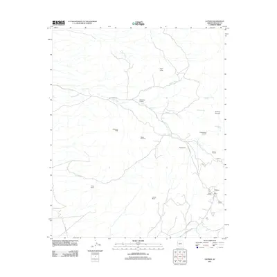
2011 Map of Oatman
USGS Topo · Published 2011About this map
Oatman and the nearby site of Goldroad anchor this 2011 topographic survey of the Black Mountains in Mohave County. The map details a landscape defined by significant elevation changes and ephemeral watercourses like Silver Creek and Mossback Wash. This area of Arizona has a deep connection to early mining and transportation, as seen in the presence of the Oatman Post Office and the distinct Gold Road Cemetery and Oatman Cemetery.
Find a feature on this map
28 named features on this map. Tap any name to fly to it.
Don’t see what you’re looking for? This feature index may not catch every label — zoom into the map to look around manually.
Map Details
Editions of this 2011 Oatman Map
This is the sole edition of this map. No revisions or reprints were ever made.
Other maps of this area

1886 · Camp Mohave
USGS Topo · 1:250,000

1892 · Camp Mohave
USGS Topo · 1:250,000

1903 · Needles
USGS Topo · 1:125,000

1904 · Needles Special
USGS Topo · 1:125,000

1926 · Mohave City
USGS Topo · 1:96,000

1942 · Camp Mohave
USGS Topo · 1:250,000

1947 · Kingman
USGS Topo · 1:250,000

1948 · Kingman
USGS Topo · 1:250,000

1950 · Davis Dam
USGS Topo · 1:62,500

1950 · Needles
USGS Topo · 1:62,500