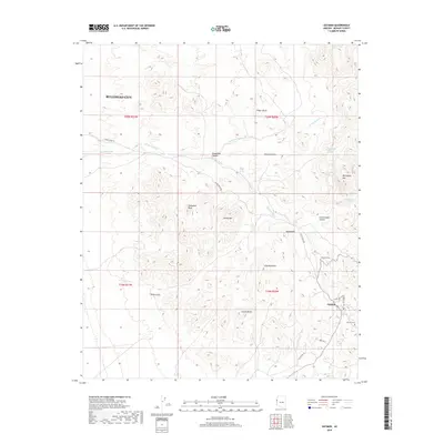
2018 Map of Oatman
USGS Topo · Published 2018About this map
Oatman remains a focal point of this arid corridor in the Ute Mountains, where local history is etched into the landscape of the Mojave Desert. The proximity of the Oatman Cem and Gold Road Cem highlights the area's heritage, marking the lives of those who once worked the surrounding peaks. The terrain is defined by dramatic volcanic and erosional features such as Cathedral Rock, Hardy Mtn, and Battleship Mtn, which rise above a network of dry drainages including Silver Cr Wash and Mossback Wash.
Find a feature on this map
34 named features on this map. Tap any name to fly to it.
Don’t see what you’re looking for? This feature index may not catch every label — zoom into the map to look around manually.
Map Details
Editions of this 2018 Oatman Map
This is the sole edition of this map. No revisions or reprints were ever made.
Other maps of this area
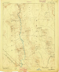
1886 · Camp Mohave
USGS Topo · 1:250,000
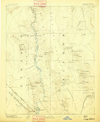
1892 · Camp Mohave
USGS Topo · 1:250,000
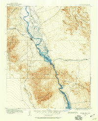
1903 · Needles
USGS Topo · 1:125,000
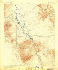
1904 · Needles Special
USGS Topo · 1:125,000
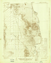
1926 · Mohave City
USGS Topo · 1:96,000
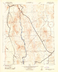
1942 · Camp Mohave
USGS Topo · 1:250,000

1947 · Kingman
USGS Topo · 1:250,000

1948 · Kingman
USGS Topo · 1:250,000
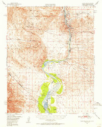
1950 · Davis Dam
USGS Topo · 1:62,500
1950 · Needles
USGS Topo · 1:62,500